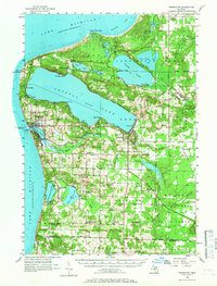
1956 Map of Frankfort
USGS Topo · Published 1966About this map
Crystal Lake and the rugged coastline of Lake Michigan dominate this mid-century portrait of Benzie County. The city of Frankfort and neighboring Elberta sit at the mouth of the Betsie River, where the North Breakwater Lighthouse and Point Betsie light mark critical navigational points for Great Lakes shipping. The landscape is dotted with several rural educational sites, many already marked as historical relics, such as Lincoln Sch and Joy Sch.
Find a feature on this map
81 named features on this map. Tap any name to fly to it.
Don’t see what you’re looking for? This feature index may not catch every label — zoom into the map to look around manually.
Map Details
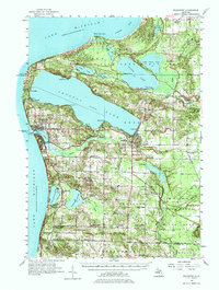
Editions of this 1956 Frankfort Map
3 editions found
Other maps of this area

1954 · Traverse City
USGS Topo · 1:250,000

1954 · Manitowoc
USGS Topo · 1:250,000

1956 · Onekama
USGS Topo · 1:62,500

1956 · Bar Lake
USGS Topo · 1:62,500

1956 · Thompsonville
USGS Topo · 1:62,500

1956 · Frankfort
USGS Topo · 1:62,500

1957 · Empire
USGS Topo · 1:62,500

1957 · Copemish
USGS Topo · 1:62,500

1957 · Maple City
USGS Topo · 1:62,500

1958 · Traverse City
USGS Topo · 1:250,000