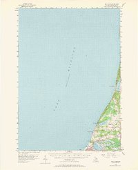
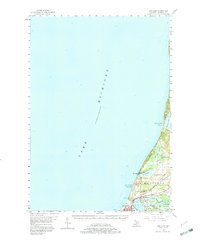
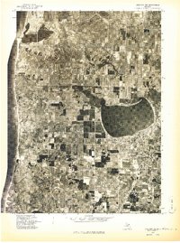
1956 Map of Bar Lake
USGS Topo · Published 1958About this map
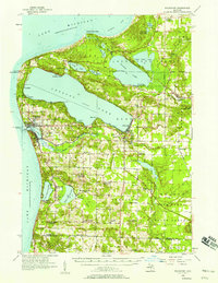
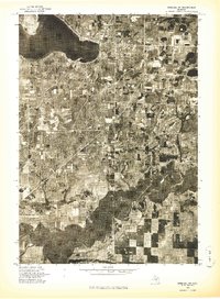
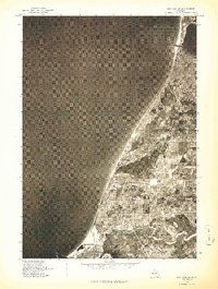
The Lake Michigan shoreline of Manistee County is defined by its deep-water connections and mid-century coastal development. The city of Manistee serves as the focal point, situated where Manistee Lake meets the great lake, supporting a concentrated infrastructure that includes the Chesapeake and Ohio railroad and the Manistee-Blacker Airport. To the north, the coastline is dotted with recreational and seasonal landmarks like Portage Point and Orchard Beach State Park, while the interior shows the practical layout of rural life through the Newland Sch and Oak Grove Cem. Cultural markers of the 1950s are evident in the presence of a Drive-in Theater and a local Radio Tower. The landscape between Filer City and the northern reaches of Portage Lake reveals a transition from industrial and transit hubs to quiet spring-fed waters like Indian Springs.
Find a feature on this map
27 named features on this map. Tap any name to fly to it.
Don’t see what you’re looking for? This feature index may not catch every label — zoom into the map to look around manually.
Map Details
Editions of this 1956 Bar Lake Map
Other maps of this area

1954 · Manitowoc
USGS Topo · 1:250,000
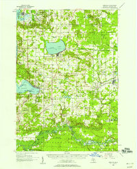
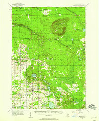
1956 · Onekama
USGS Topo · 1:62,500
1956 · Frankfort
USGS Topo · 1:62,500
1957 · Freesoil
USGS Topo · 1:62,500

1958 · Manitowoc
USGS Topo · 1:250,000
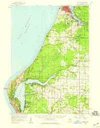
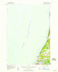
1958 · Manistee
USGS Topo · 1:62,500
1976 · Frankfort SW
USGS Topo · 1:24,000
1976 · Onekama NW
USGS Topo · 1:24,000
1976 · Onekama SW
USGS Topo · 1:24,000
1976 · Bar Lake SE
USGS Topo · 1:24,000
Featured Places
- Manistee, MI
- Parkdale, Manistee Township
- Eastlake, Manistee Township
- Manistee Township, MI
- Arcadia Township, MI