
1976 Map of Onekama SW
USGS Topo · Published 1976About this map
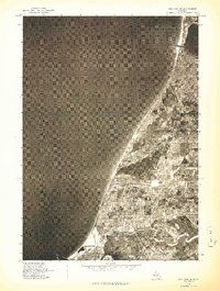
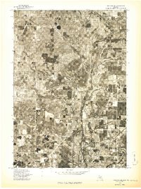
Onekama and the neighboring community of Red Park sit at the eastern edge of Portage Lake in this 1976 orthophotograph. This aerial survey provides a clear view of the mid-1970s landscape, where the dense grid of residential development transitions abruptly into agricultural plots and woodlots. The southern portion of the sheet is dominated by the broad, forested corridor of the Manistee River, which snakes through the bottomlands. The photographic detail allows for a study of the shoreline development and the patchwork of field boundaries that characterized Manistee County during this period. As an advance print, this document preserves a specific moment in the region's environmental and civil history just before the late 20th-century expansion.
Find a feature on this map
4 named features on this map. Tap any name to fly to it.
Don’t see what you’re looking for? This feature index may not catch every label — zoom into the map to look around manually.
Map Details
Editions of this 1976 Onekama SW Map
This is the sole edition of this map. No revisions or reprints were ever made.
Other maps of this area

1954 · Manitowoc
USGS Topo · 1:250,000

1956 · Onekama
USGS Topo · 1:62,500

1956 · Bar Lake
USGS Topo · 1:62,500

1957 · Freesoil
USGS Topo · 1:62,500

1958 · Manitowoc
USGS Topo · 1:250,000

1958 · Manistee
USGS Topo · 1:62,500

1976 · Onekama SE
USGS Topo · 1:24,000

1976 · Onekama NW
USGS Topo · 1:24,000
1976 · Bar Lake SE
USGS Topo · 1:24,000
1976 · Onekama NE
USGS Topo · 1:24,000