
1958 Map of Manistee
USGS Topo · Published 1959About this map
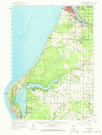
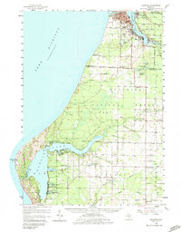
The industrial and maritime activity along Manistee Lake and the Lake Michigan shoreline dominates this late-1950s survey. Salt wells and industrial zones appear in Manistee, Filer City, and Stronach, while the Manistee and Northeastern railroad traces the eastern shore. Away from the urban hub, the landscape transitions into the wooded expanses of the Manistee National Forest, where smaller settlements like Oak Hill and rural landmarks such as the Grant Lookout Tower are situated.
Find a feature on this map
66 named features on this map. Tap any name to fly to it.
Don’t see what you’re looking for? This feature index may not catch every label — zoom into the map to look around manually.
Map Details
Editions of this 1958 Manistee Map
3 editions found
Other maps of this area

1931 · Custer NW
USGS Topo · 1:31,680

1931 · Manistee SE
USGS Topo · 1:31,680

1931 · Freesoil SW
USGS Topo · 1:31,680

1931 · Manistee SW
USGS Topo · 1:31,680

1932 · Ludington NE
USGS Topo · 1:31,680

1932 · Ludington
USGS Topo · 1:31,680

1954 · Milwaukee
USGS Topo · 1:250,000

1954 · Manitowoc
USGS Topo · 1:250,000

1956 · Onekama
USGS Topo · 1:62,500

1956 · Bar Lake
USGS Topo · 1:62,500