
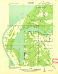
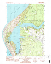
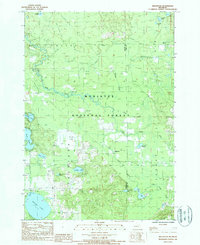
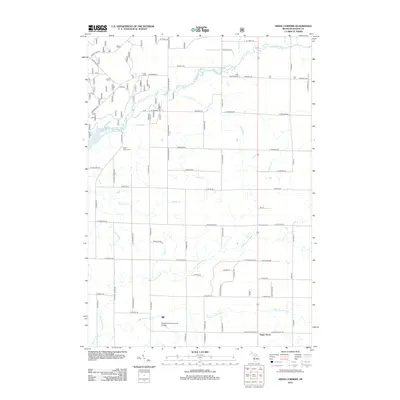
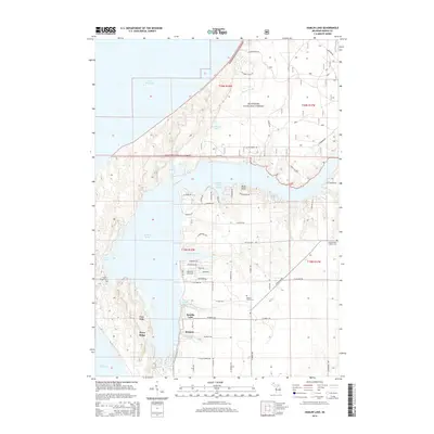
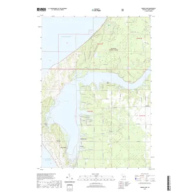
1932 Map of Ludington NE
USGS Topo · Published 1932About this map
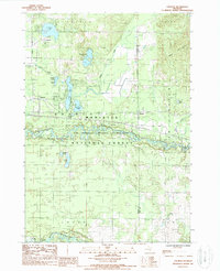
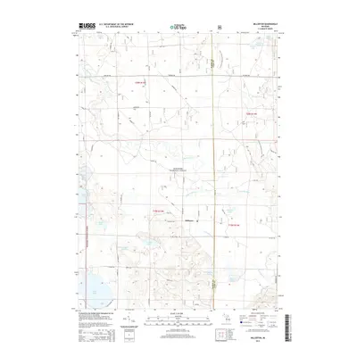
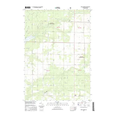
The Pere Marquette River meanders across this 1932 topographic study, its wide floodplains and surrounding marshlands defining the landscape of central Mason County. The town of Scottville serves as the primary regional hub, situated at the junction of U S Highway Nos 10 and 31. The map reveals a highly developed rural school system, with numerous neighborhood institutions such as North Amber Sch, Jones Sch, and Rickey Sch spaced for walking distances within the townships of Sherman, Amber, and Riverton.
Find a feature on this map
21 named features on this map. Tap any name to fly to it.
Don’t see what you’re looking for? This feature index may not catch every label — zoom into the map to look around manually.
Map Details
Editions of this 1932 Ludington NE Map
This is the sole edition of this map. No revisions or reprints were ever made.
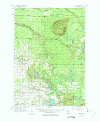
Historical Maps of Amber Through Time
46 maps found

1931 Custer NE
Mason County, MI

1931 Custer NW
Mason County, MI

1931 Freesoil SW
Mason County, MI

1931 Manistee SE
Mason County, MI
1931 Manistee SW
Mason County, MI

1932 Freesoil SE
Mason County, MI
1932 Ludington NE
Mason County, MI
1957 Freesoil
Mason County, MI
1976 Custer NE
Mason County, MI
1976 Custer NW
Mason County, MI
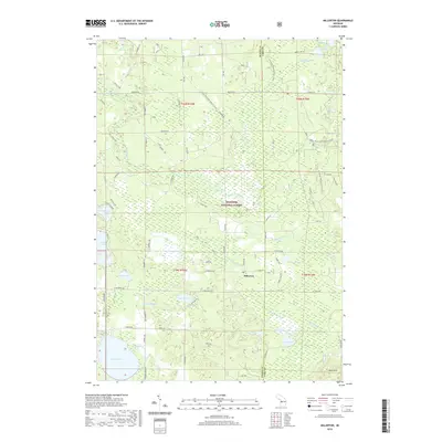
1982 Hamlin Lake
Mason County, MI
1982 Kings Corners
Mason County, MI
1982 Manistee NW
Mason County, MI
1987 Freesoil
Mason County, MI
1987 Millerton
Mason County, MI
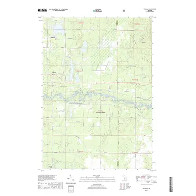
1987 Tallman
Mason County, MI
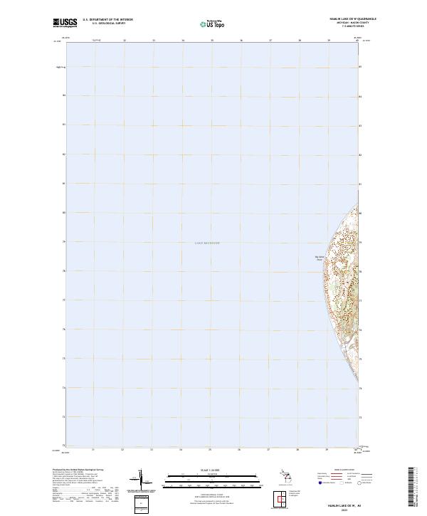
2011 Hamlin Lake OE W
Mason County, MI
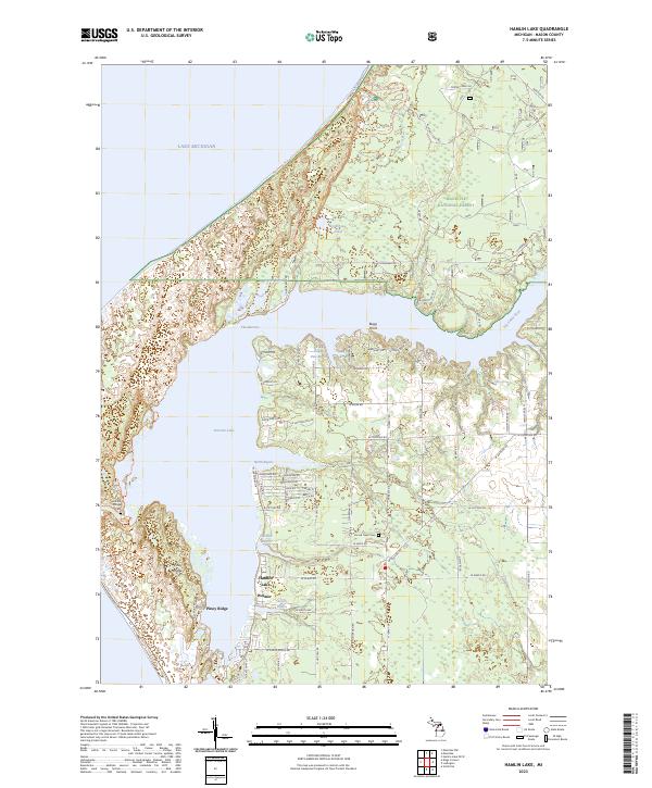
2012 Hamlin Lake
Mason County, MI
2012 Kings Corners
Mason County, MI
2012 Manistee NW
Mason County, MI
2012 Millerton
Mason County, MI
2012 Tallman
Mason County, MI
2014 Hamlin Lake
Mason County, MI
2014 Hamlin Lake OE W
Mason County, MI
2014 Kings Corners
Mason County, MI
2014 Manistee NW
Mason County, MI
2014 Millerton
Mason County, MI
2014 Tallman
Mason County, MI
2017 Hamlin Lake
Mason County, MI
2017 Hamlin Lake OE W
Mason County, MI
2017 Kings Corners
Mason County, MI
2017 Manistee NW
Mason County, MI
2017 Millerton
Mason County, MI
2017 Tallman
Mason County, MI
2019 Hamlin Lake
Mason County, MI
2019 Hamlin Lake OE W
Mason County, MI
2019 Kings Corners
Mason County, MI
2019 Manistee NW
Mason County, MI
2019 Millerton
Mason County, MI
2019 Tallman
Mason County, MI
2023 Hamlin Lake
Mason County, MI
2023 Hamlin Lake OE W
Mason County, MI
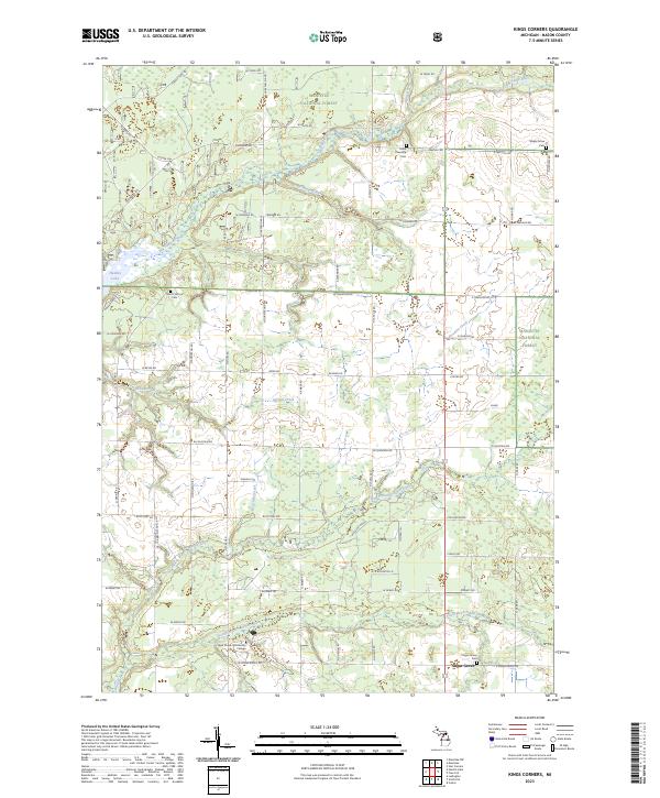
2023 Kings Corners
Mason County, MI
2023 Manistee NW
Mason County, MI
2023 Millerton
Mason County, MI
2023 Tallman
Mason County, MI