
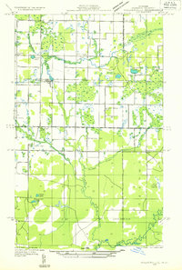
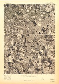
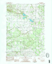
1932 Map of Ludington SE
USGS Topo · Published 1932About this map
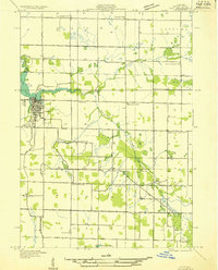
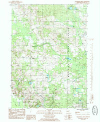
The boundary between Riverton and Weare townships defines this 1932 field examination, where the landscape transitions from the marshy lowlands of the Pentwater Creek basin to the upland lake country. The area is marked by a dense network of early 20th-century rural infrastructure, including a series of small school districts such as Wiley Sch, Morton Sch, and Maple Grove Sch. Settlement patterns are concentrated at rural crossroads like Bucks Corner and Smiths Corner, serving the surrounding agricultural community. Significant water features include the connected North Oxbow Lake and South Oxbow Lake, alongside the prominent St Marys Lake. This survey, compiled from early Air Corps aerial photography, captures the precise locations of community anchors like the Town Hall and Bethel Ch before modern road realignments changed the character of these interior settlements.
Find a feature on this map
20 named features on this map. Tap any name to fly to it.
Don’t see what you’re looking for? This feature index may not catch every label — zoom into the map to look around manually.
Map Details
Editions of this 1932 Ludington SE Map
This is the sole edition of this map. No revisions or reprints were ever made.
Historical Maps of Wiley Through Time
74 maps found

1931 Custer SE
Oceana County, MI

1931 Custer SW
Oceana County, MI
1931 Hart NE
Oceana County, MI
1931 Hart NW
Oceana County, MI
1931 Hart SE
Oceana County, MI

1931 Walkerville NE
Oceana County, MI
1931 Walkerville NW
Oceana County, MI

1931 Walkerville SE
Oceana County, MI
1931 Walkerville SW
Oceana County, MI
1932 Ludington SE
Oceana County, MI

1932 Ludington SW
Oceana County, MI

1976 Custer SE
Oceana County, MI
1976 Custer SW
Oceana County, MI
1976 Hart NE
Oceana County, MI
1976 Hart NW
Oceana County, MI
1976 Hart SE
Oceana County, MI

1976 Hersperia NE
Oceana County, MI
1976 Hersperia NW
Oceana County, MI
1976 Hersperia SE
Oceana County, MI
1976 Hersperia SW
Oceana County, MI
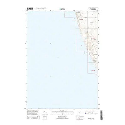
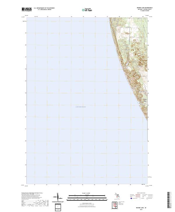
1983 Bigsbie Lake
Oceana County, MI
1983 Little Point Sable
Oceana County, MI

1983 Town Corners
Oceana County, MI
1983 Wiley
Oceana County, MI
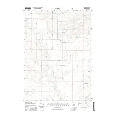
1985 Ferry
Oceana County, MI

1985 Walkerville East
Oceana County, MI
1985 Walkerville West
Oceana County, MI
1987 Carr
Oceana County, MI
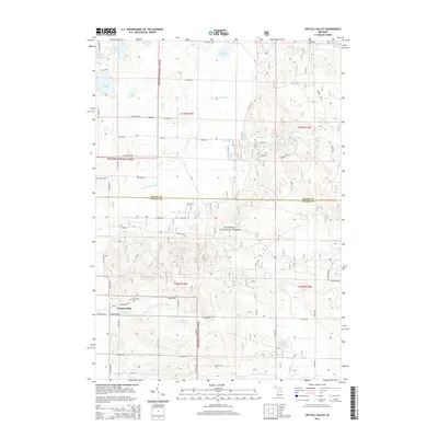
1987 Crystal Valley
Oceana County, MI
2011 Bigsbie Lake
Oceana County, MI
2011 Little Point Sable
Oceana County, MI
2011 Town Corners
Oceana County, MI
2012 Carr
Oceana County, MI
2012 Crystal Valley
Oceana County, MI
2012 Ferry
Oceana County, MI
2012 Walkerville East
Oceana County, MI
2012 Walkerville West
Oceana County, MI
2012 Wiley
Oceana County, MI
2014 Bigsbie Lake
Oceana County, MI
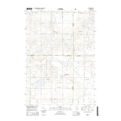
2014 Carr
Oceana County, MI
2014 Crystal Valley
Oceana County, MI
2014 Ferry
Oceana County, MI
2014 Little Point Sable
Oceana County, MI
2014 Town Corners
Oceana County, MI
2014 Walkerville East
Oceana County, MI
2014 Walkerville West
Oceana County, MI
2014 Wiley
Oceana County, MI
2017 Bigsbie Lake
Oceana County, MI
2017 Carr
Oceana County, MI
2017 Crystal Valley
Oceana County, MI
2017 Ferry
Oceana County, MI
2017 Little Point Sable
Oceana County, MI
2017 Town Corners
Oceana County, MI
2017 Walkerville East
Oceana County, MI
2017 Walkerville West
Oceana County, MI
2017 Wiley
Oceana County, MI
2019 Bigsbie Lake
Oceana County, MI
2019 Carr
Oceana County, MI
2019 Crystal Valley
Oceana County, MI
2019 Ferry
Oceana County, MI
2019 Little Point Sable
Oceana County, MI
2019 Town Corners
Oceana County, MI
2019 Walkerville East
Oceana County, MI
2019 Walkerville West
Oceana County, MI
2019 Wiley
Oceana County, MI
2023 Bigsbie Lake
Oceana County, MI
2023 Carr
Oceana County, MI
2023 Crystal Valley
Oceana County, MI
2023 Ferry
Oceana County, MI
2023 Little Point Sable
Oceana County, MI
2023 Town Corners
Oceana County, MI
2023 Walkerville East
Oceana County, MI
2023 Walkerville West
Oceana County, MI
2023 Wiley
Oceana County, MI
Featured Locations
- Eden Township, MI
- Riverton Township, MI
- Weare Township, MI
- Crystal Township, MI
- Wiley, Riverton Township