
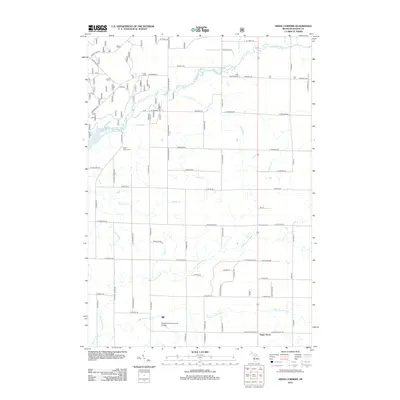
1931 Map of Custer NW
USGS Topo · Published 1931About this map
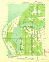
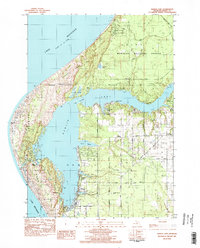
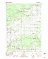
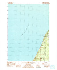
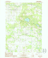
Custer serves as the primary settlement hub in this 1931 survey of Mason County, positioned at the junction of the Pere Marquette railroad and Highway No 10. The landscape is defined by the winding course of the Pere Marquette River and its South Branch, which cut through a mosaic of woodlots and marshes. This era of rural Michigan life is heavily documented through its network of district schools, including Minega Sch, McClellan Sch, and Jenks Sch, reflecting a time when education was strictly localized within walking distance for farming families. The map also highlights numerous small water bodies such as Allen Lake, Bailey Lake, and Saunders Lake, alongside the distinct boundaries of townships like Sheridan, Custer, and Logan.
Find a feature on this map
34 named features on this map. Tap any name to fly to it.
Don’t see what you’re looking for? This feature index may not catch every label — zoom into the map to look around manually.
Map Details
Editions of this 1931 Custer NW Map
This is the sole edition of this map. No revisions or reprints were ever made.
Historical Maps of Custer Through Time
46 maps found

1931 Custer NE
Mason County, MI
1931 Custer NW
Mason County, MI

1931 Freesoil SW
Mason County, MI

1931 Manistee SE
Mason County, MI
1931 Manistee SW
Mason County, MI

1932 Freesoil SE
Mason County, MI

1932 Ludington NE
Mason County, MI
1957 Freesoil
Mason County, MI
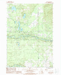
1976 Custer NE
Mason County, MI
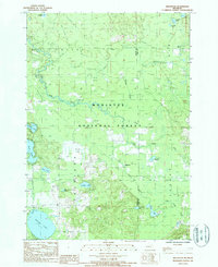
1976 Custer NW
Mason County, MI
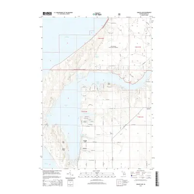
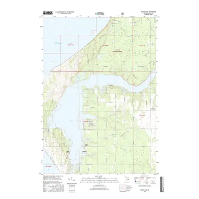
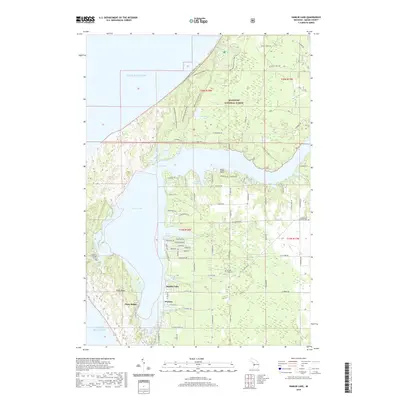
1982 Hamlin Lake
Mason County, MI
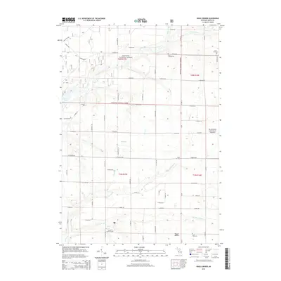
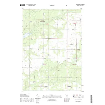
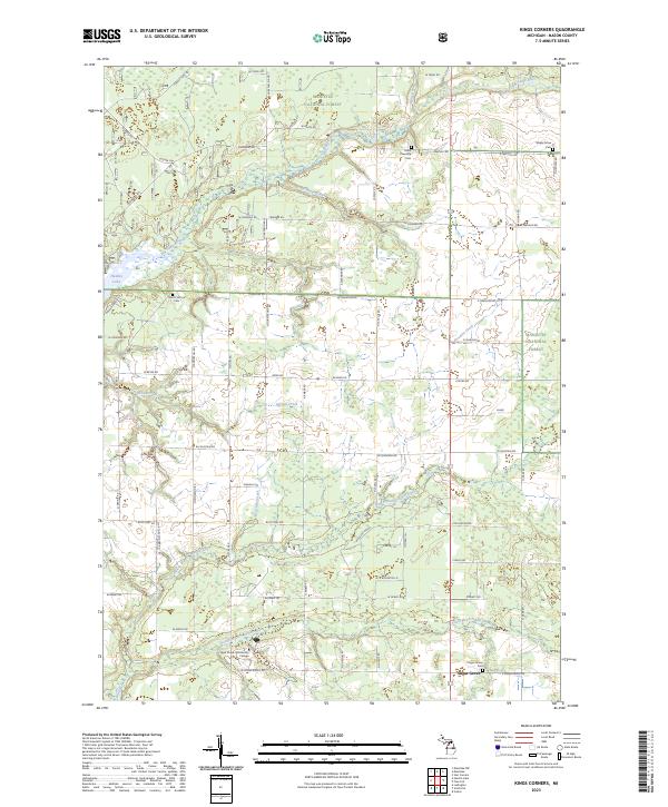
1982 Kings Corners
Mason County, MI
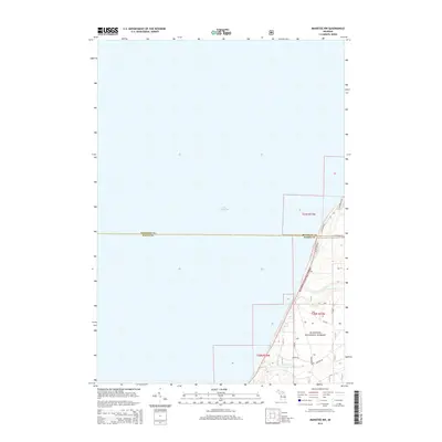
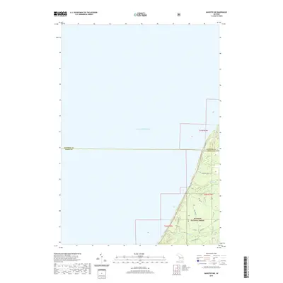
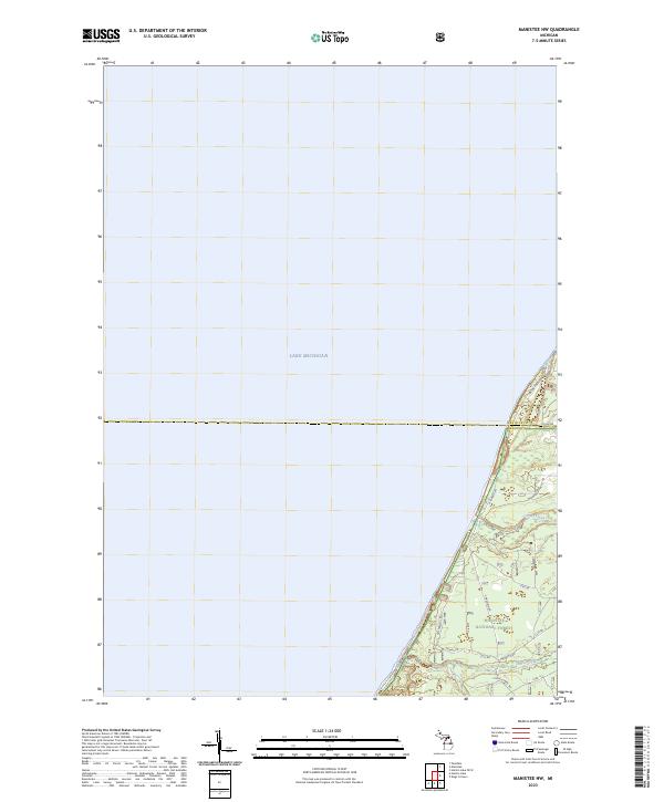
1982 Manistee NW
Mason County, MI
1987 Freesoil
Mason County, MI
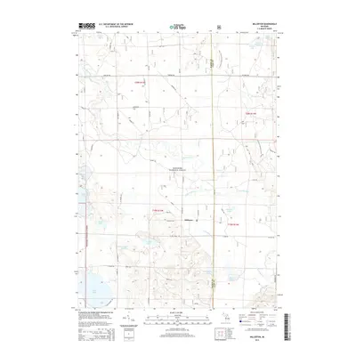
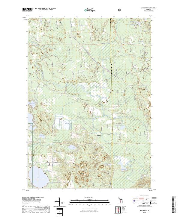
1987 Millerton
Mason County, MI
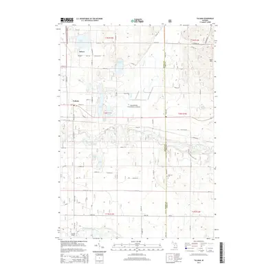
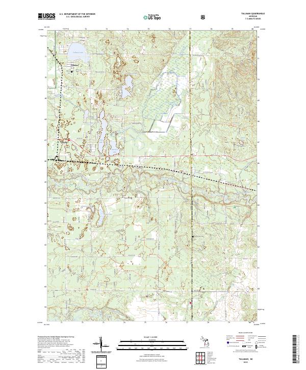
1987 Tallman
Mason County, MI
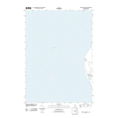
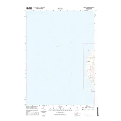
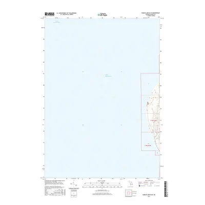
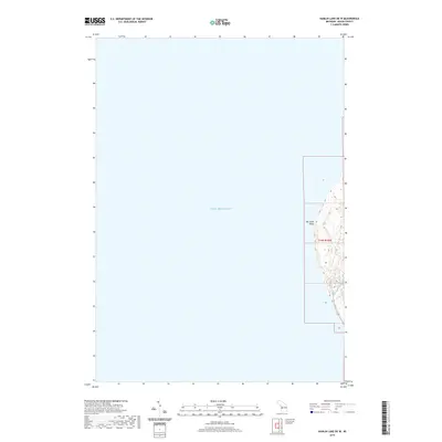
2011 Hamlin Lake OE W
Mason County, MI
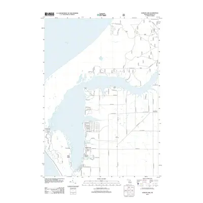
2012 Hamlin Lake
Mason County, MI
2012 Kings Corners
Mason County, MI
2012 Manistee NW
Mason County, MI
2012 Millerton
Mason County, MI
2012 Tallman
Mason County, MI
2014 Hamlin Lake
Mason County, MI
2014 Hamlin Lake OE W
Mason County, MI
2014 Kings Corners
Mason County, MI
2014 Manistee NW
Mason County, MI
2014 Millerton
Mason County, MI
2014 Tallman
Mason County, MI
2017 Hamlin Lake
Mason County, MI
2017 Hamlin Lake OE W
Mason County, MI
2017 Kings Corners
Mason County, MI
2017 Manistee NW
Mason County, MI
2017 Millerton
Mason County, MI
2017 Tallman
Mason County, MI
2019 Hamlin Lake
Mason County, MI
2019 Hamlin Lake OE W
Mason County, MI
2019 Kings Corners
Mason County, MI
2019 Manistee NW
Mason County, MI
2019 Millerton
Mason County, MI
2019 Tallman
Mason County, MI
2023 Hamlin Lake
Mason County, MI
2023 Hamlin Lake OE W
Mason County, MI
2023 Kings Corners
Mason County, MI
2023 Manistee NW
Mason County, MI
2023 Millerton
Mason County, MI
2023 Tallman
Mason County, MI
Featured Locations
- Branch Township, MI
- Logan Township, MI
- Sheridan Township, MI
- Sherman Township, MI
- Custer, Custer Township