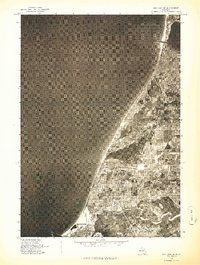
1976 Map of Bar Lake SE
USGS Topo · Published 1976About this map
Manistee and the surrounding coastal corridor of northwest Michigan are shown in this mid-1970s orthophotograph, captured just before major shifts in the region's industrial landscape. The aerial perspective reveals the complex waterway system where the Manistee River empties into Manistee Lake before reaching the vast expanse of Lake Michigan. To the north, the small settlement of Parkdale and the inland waters of Bar Lake sit along the shoreline, providing a clear view of how residential and agricultural patterns developed between the dunes and the interior woods. The map highlights the strategic positioning of these communities, including the northern edge of Portage Lake, during an era when the local economy remained closely tied to the timber and shipping industries that built the lakefront towns of Manistee County.
Find a feature on this map
8 named features on this map. Tap any name to fly to it.
Don’t see what you’re looking for? This feature index may not catch every label — zoom into the map to look around manually.
Map Details
Editions of this 1976 Bar Lake SE Map
This is the sole edition of this map. No revisions or reprints were ever made.
Other maps of this area

1954 · Manitowoc
USGS Topo · 1:250,000

1956 · Onekama
USGS Topo · 1:62,500

1956 · Bar Lake
USGS Topo · 1:62,500

1957 · Freesoil
USGS Topo · 1:62,500

1958 · Manitowoc
USGS Topo · 1:250,000

1958 · Manistee
USGS Topo · 1:62,500

1976 · Onekama NW
USGS Topo · 1:24,000

1976 · Onekama SW
USGS Topo · 1:24,000
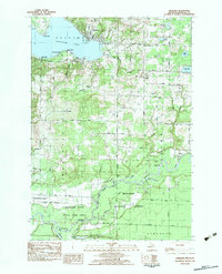
1982 · Onekama
USGS Topo · 1:25,000
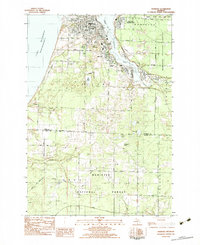
1982 · Manistee
USGS Topo · 1:25,000