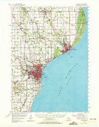
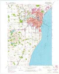
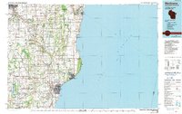
1958 Map of Manitowoc
USGS Topo · Published 1958About this map
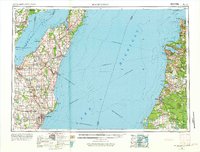
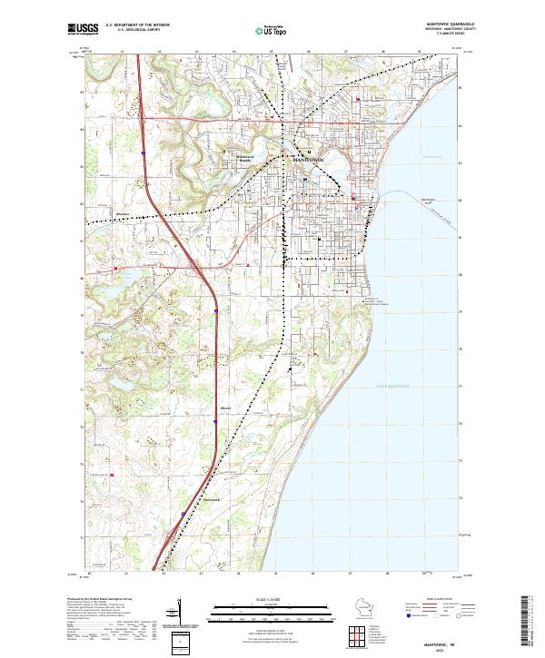
Lake Michigan dominates the center of this mid-century maritime study, serving as a corridor for significant cross-lake transport. The sheet illustrates the intricate network of the Ann Arbor Railroad Ferry and the Chesapeake and Ohio Auto Ferry, which connected the Wisconsin port cities of Manitowoc and Kewaunee with the Michigan shoreline near Manistee National Forest. This transit pattern underscores the vital industrial and passenger links between the two states before the decline of the great rail ferries.
Find a feature on this map
121 named features on this map. Tap any name to fly to it.
Don’t see what you’re looking for? This feature index may not catch every label — zoom into the map to look around manually.
Map Details
Editions of this 1958 Manitowoc Map
This is the sole edition of this map. No revisions or reprints were ever made.
Historical Maps of Green Bay Through Time
6 maps found