Loading...
Loading map...1984 Map of Manitowoc
USGS Topo · Published 1991About this map
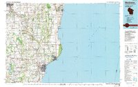
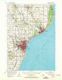
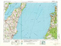
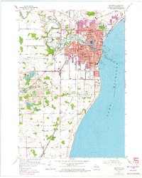
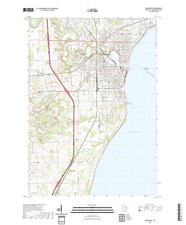
Manitowoc and Two Rivers anchor this mid-1980s look at the Wisconsin shoreline of Lake Michigan. The map illustrates the industrial and maritime character of the coast, featuring the U S Coast Guard Station and the protected shoreline of Point Beach State Forest. Inland, the landscape is defined by the winding paths of the Neshota River, Branch River, and East Twin River, which supported the dairy and agricultural infrastructure of settlements like Mishicot, Valders, and St Nazianz.
Find a feature on this map
106 named features on this map. Tap any name to fly to it.
Don’t see what you’re looking for? This feature index may not catch every label — zoom into the map to look around manually.
Map Details
Date Portrayed1984
Date Published1991
PublisherU.S. Geological Survey
Map TypeTopographic
Scale1:100,000
Physical Dimensions38.19 x 23.99 inches
Editions of this 1984 Manitowoc Map
2 editions found

Historical Maps of Green Bay Through Time
6 maps found

Featured Locations
Source Details
SourceU.S. Geological Survey
CopyrightPublic Domain