
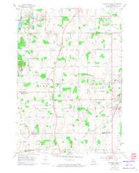
1954 Map of St. Wendel
USGS Topo · Published 1956About this map
Agricultural life in southern Manitowoc County is defined by a dense network of country schools and rural parishes during the mid-1950s. The landscape is centered on the township of Meeme, where the Meeme River winds toward the settlement of St Wendel. This era reflects a highly localized social structure, evidenced by the numerous named schoolhouses such as Liberty Bell Sch, La Follette Sch, and Mineral Springs Sch that served dispersed farming families.
Find a feature on this map
35 named features on this map. Tap any name to fly to it.
Don’t see what you’re looking for? This feature index may not catch every label — zoom into the map to look around manually.
Map Details
Editions of this 1954 St. Wendel Map
3 editions found
Other maps of this area

1954 · School Hill
USGS Topo · 1:24,000

1954 · Manitowoc
USGS Topo · 1:62,500

1954 · Cleveland
USGS Topo · 1:24,000

1954 · Sheboygan North
USGS Topo · 1:62,500

1954 · Sheboygan North
USGS Topo · 1:24,000

1954 · Howards Grove
USGS Topo · 1:62,500

1954 · Howards Grove
USGS Topo · 1:24,000

1954 · Reedsville
USGS Topo · 1:62,500

1954 · Manitowoc
USGS Topo · 1:24,000

1954 · Franklin
USGS Topo · 1:24,000