Loading...
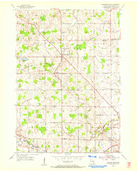
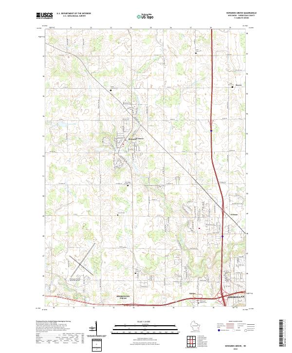
Loading map...1954 Map of Howards Grove
USGS Topo · Published 1956About this map
The settlement of Howards Grove serves as a central hub in this mid-century survey of Sheboygan County, where the agricultural landscape is intricately divided among the townships of Herman, Mosel, Sheboygan Falls, and Sheboygan. The area is defined by its deep-rooted community institutions, evidenced by numerous country schools like Trinity Sch and Haven Sch, alongside several historic churches and burial grounds such as St Paul-Friedhof Cem.
Find a feature on this map
34 named features on this map. Tap any name to fly to it.
Don’t see what you’re looking for? This feature index may not catch every label — zoom into the map to look around manually.
Map Details
Date Portrayed1954
Date Published1956
PublisherU.S. Geological Survey
Map TypeTopographic
Scale1:24,000
Physical Dimensions22 x 27.5 inches
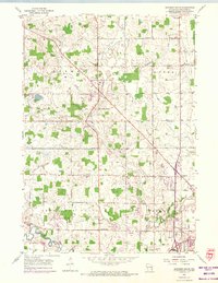
Editions of this 1954 Howards Grove Map
3 editions found
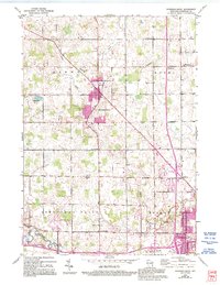
Historical Maps of Sheboygan Through Time
7 maps found

Featured Locations
Source Details
SourceU.S. Geological Survey
CopyrightPublic Domain