
1954 Map of Sheboygan South
USGS Topo · Published 1956About this map
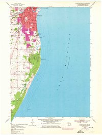
Sheboygan sits at the northern edge of this coastal survey, where the Sheboygan River meets Lake Michigan amidst a dense grid of urban development and industry. The industrial character of the mid-1950s is evident in the presence of a Refinery, a Sewage Disposal plant, and the sprawling Edgewater Powerplant along the shore. Beyond the city center, the landscape transitions into the residential and recreational fringes, featuring schools like Central High Sch and multiple parks, including Sheridan Park and King Park.
Find a feature on this map
33 named features on this map. Tap any name to fly to it.
Don’t see what you’re looking for? This feature index may not catch every label — zoom into the map to look around manually.
Map Details
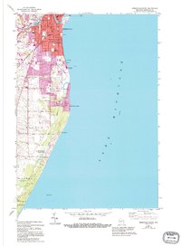
Editions of this 1954 Sheboygan South Map
3 editions found
Other maps of this area

1954 · Sheboygan Falls
USGS Topo · 1:62,500

1954 · Sheboygan South
USGS Topo · 1:62,500

1954 · Sheboygan Falls
USGS Topo · 1:24,000

1954 · Sheboygan North
USGS Topo · 1:62,500

1954 · Sheboygan North
USGS Topo · 1:24,000

1954 · Howards Grove
USGS Topo · 1:62,500

1954 · Howards Grove
USGS Topo · 1:24,000

1954 · Milwaukee
USGS Topo · 1:250,000

1958 · Milwaukee
USGS Topo · 1:250,000
1974 · Cedar Grove
USGS Topo · 1:24,000