
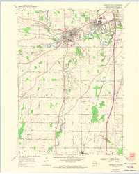
1954 Map of Sheboygan Falls
USGS Topo · Published 1956About this map
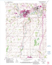
The Sheboygan River winds through this mid-century landscape, joining the Mullet River and Onion River at the industrial and residential heart of Sheboygan Falls. The map documents a period of established local infrastructure, where the Chicago and North Western railroad connects the bustling village of Kohler to smaller agrarian hubs like Gibbsville and Oostburg. Outside the main town centers, the landscape is defined by rural education and community markers, including several family and parish sites like Jansen Cem, Moenning Cem, and the St George Sch. The presence of the Sheboygan Speedway near Weedens suggests the era's recreational growth, while numerous gravel pits point to the local extraction industry supporting the region's mid-century expansion.
Find a feature on this map
39 named features on this map. Tap any name to fly to it.
Don’t see what you’re looking for? This feature index may not catch every label — zoom into the map to look around manually.
Map Details
Editions of this 1954 Sheboygan Falls Map
3 editions found
Other maps of this area

1954 · Sheboygan Falls
USGS Topo · 1:62,500

1954 · Sheboygan South
USGS Topo · 1:62,500

1954 · Sheboygan North
USGS Topo · 1:62,500

1954 · Sheboygan North
USGS Topo · 1:24,000

1954 · Sheboygan South
USGS Topo · 1:24,000

1954 · Howards Grove
USGS Topo · 1:62,500

1954 · Howards Grove
USGS Topo · 1:24,000

1954 · Franklin
USGS Topo · 1:24,000

1954 · Milwaukee
USGS Topo · 1:250,000

1958 · Milwaukee
USGS Topo · 1:250,000