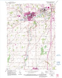
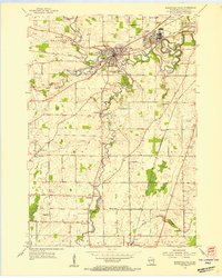
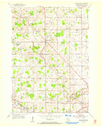
1954 Map of Sheboygan Falls
USGS Topo · Published 1995About this map
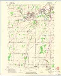
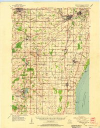
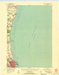
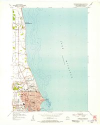
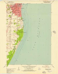
The Sheboygan River and Onion River define the hydraulic character of this landscape, converging near the industrial and residential heart of Sheboygan Falls. Captured just before mid-century and later updated with urban expansion data, the map reveals a well-established network of rural schoolhouses and parish churches like St Marys Ch and St Rose Ch. These landmarks, along with the Lima Center Sch and Madison Sch, served the surrounding agricultural communities of Ourtown and Gibbsville. Southward, the village of Oostburg anchors the lower portion of the sheet near the Black River. The presence of numerous family-named burial grounds, such as the Gibbsville Cem and Jansen Cem, offers significant detail for those tracing the lineage of settlers in the townships of Lima and Wilson.
Find a feature on this map
33 named features on this map. Tap any name to fly to it.
Don’t see what you’re looking for? This feature index may not catch every label — zoom into the map to look around manually.
Map Details
Editions of this 1954 Sheboygan Falls Map
3 editions found
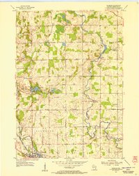
Other maps of this area
1954 · Sheboygan Falls
USGS Topo · 1:62,500
1954 · Sheboygan South
USGS Topo · 1:62,500
1954 · Sheboygan Falls
USGS Topo · 1:24,000
1954 · Sheboygan North
USGS Topo · 1:62,500
1954 · Sheboygan North
USGS Topo · 1:24,000
1954 · Sheboygan South
USGS Topo · 1:24,000

1954 · Howards Grove
USGS Topo · 1:62,500
1954 · Howards Grove
USGS Topo · 1:24,000
1954 · Franklin
USGS Topo · 1:24,000

1954 · Milwaukee
USGS Topo · 1:250,000