
1954 Map of Sheboygan North
USGS Topo · Published 1956About this map
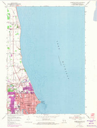
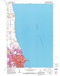
Lake Michigan dominates the eastern half of this mid-century survey, its depths marked by sounding figures and the prominent Sheboygan Reef. Along the coast, the northern portion of Sheboygan displays a dense grid of residential and institutional development. The city's social infrastructure is well-defined by numerous educational and religious sites, including North High School and St Nickolas Hospital, alongside several municipal parks like Vollrath Park and Deland Park that buffer the shoreline.
Find a feature on this map
45 named features on this map. Tap any name to fly to it.
Don’t see what you’re looking for? This feature index may not catch every label — zoom into the map to look around manually.
Map Details
Editions of this 1954 Sheboygan North Map
3 editions found
Other maps of this area

1954 · Sheboygan Falls
USGS Topo · 1:62,500

1954 · Sheboygan South
USGS Topo · 1:62,500

1954 · Sheboygan Falls
USGS Topo · 1:24,000

1954 · Cleveland
USGS Topo · 1:24,000

1954 · St. Wendel
USGS Topo · 1:24,000

1954 · Sheboygan North
USGS Topo · 1:62,500

1954 · Sheboygan South
USGS Topo · 1:24,000

1954 · Howards Grove
USGS Topo · 1:62,500

1954 · Howards Grove
USGS Topo · 1:24,000

1954 · Milwaukee
USGS Topo · 1:250,000