1954 Map of Sheboygan North
USGS Topo · Published 1995About this map
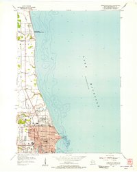
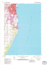
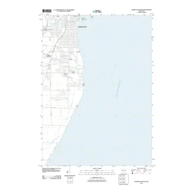
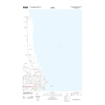
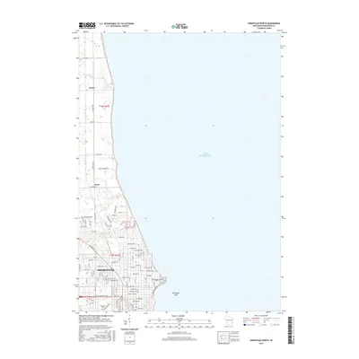
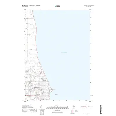
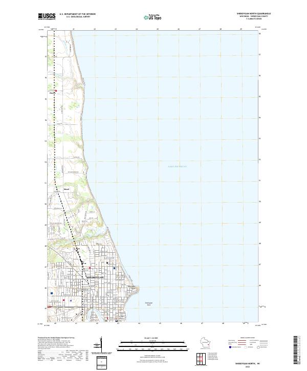
The urban landscape of Sheboygan dominates the southern half of this mid-century survey, transitioning into the agricultural townships of Mosel and Sheboygan to the north. The city's residential and institutional grid is densely mapped, featuring numerous educational facilities like North High School and Washington School, alongside religious landmarks such as St Dominic School and St Paul School. The industrial and civic heart of the city is anchored by the Courthouse and City Hall, while the municipal Waterworks stands prominently at Sheboygan Point.
Find a feature on this map
41 named features on this map. Tap any name to fly to it.
Don’t see what you’re looking for? This feature index may not catch every label — zoom into the map to look around manually.
Map Details
Editions of this 1954 Sheboygan North Map
3 editions found
Historical Maps of Sheboygan Through Time
32 maps found
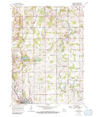
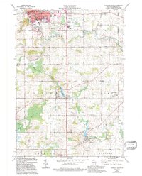
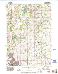
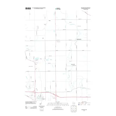
1954 Franklin
Sheboygan County, WI
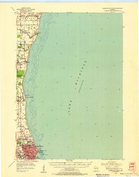
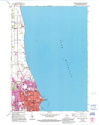
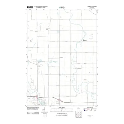
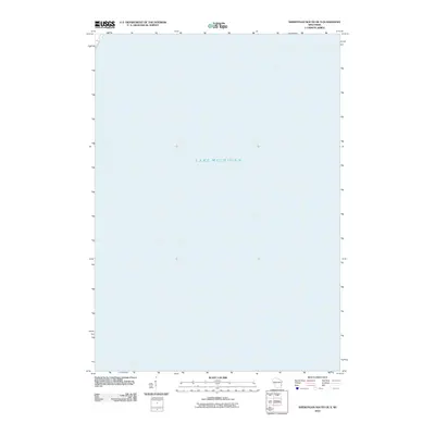
1954 Sheboygan North
Sheboygan County, WI
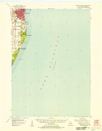
1954 Sheboygan North
Sheboygan County, WI
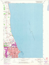
1954 Sheboygan South
Sheboygan County, WI
1954 Sheboygan South
Sheboygan County, WI
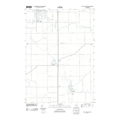
1974 Plymouth South
Sheboygan County, WI
1992 Franklin
Sheboygan County, WI
2010 Franklin
Sheboygan County, WI
2010 Plymouth South
Sheboygan County, WI
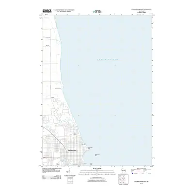
2010 Sheboygan North
Sheboygan County, WI
2010 Sheboygan South OE S
Sheboygan County, WI
2010 Sheboygan South
Sheboygan County, WI
2013 Franklin
Sheboygan County, WI
2013 Plymouth South
Sheboygan County, WI
2013 Sheboygan North
Sheboygan County, WI
2013 Sheboygan South OE S
Sheboygan County, WI
2013 Sheboygan South
Sheboygan County, WI
2016 Franklin
Sheboygan County, WI
2016 Plymouth South
Sheboygan County, WI
2016 Sheboygan North
Sheboygan County, WI
2016 Sheboygan South OE S
Sheboygan County, WI
2016 Sheboygan South
Sheboygan County, WI
2018 Franklin
Sheboygan County, WI
2018 Plymouth South
Sheboygan County, WI
2018 Sheboygan North
Sheboygan County, WI
2018 Sheboygan South OE S
Sheboygan County, WI
2018 Sheboygan South
Sheboygan County, WI
2022 Franklin
Sheboygan County, WI
2022 Plymouth South
Sheboygan County, WI
2022 Sheboygan North
Sheboygan County, WI
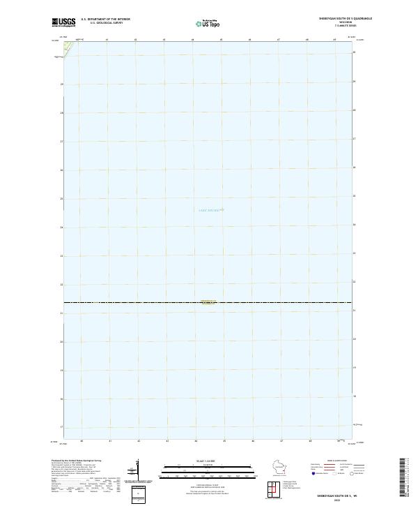
2022 Sheboygan South OE S
Sheboygan County, WI
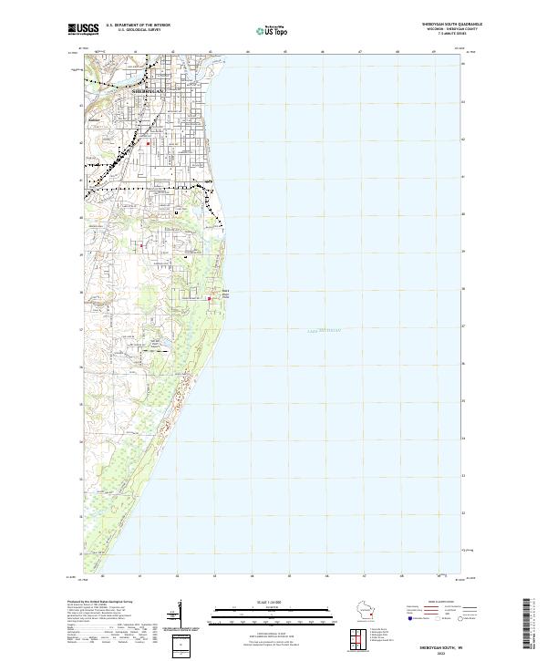
2022 Sheboygan South
Sheboygan County, WI