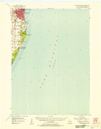
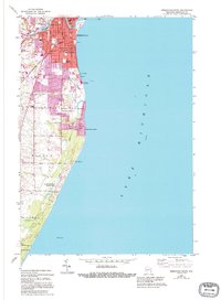
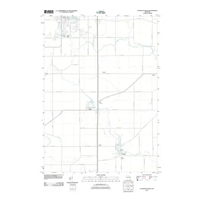
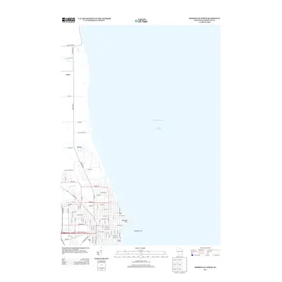
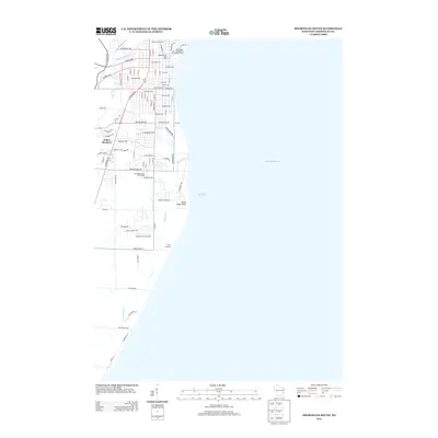
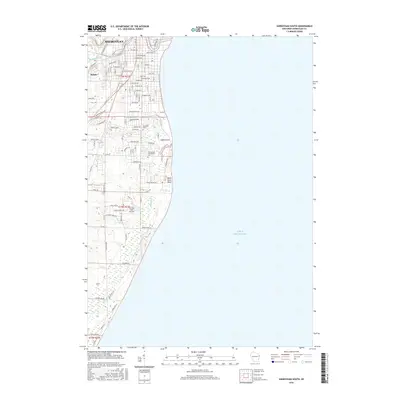
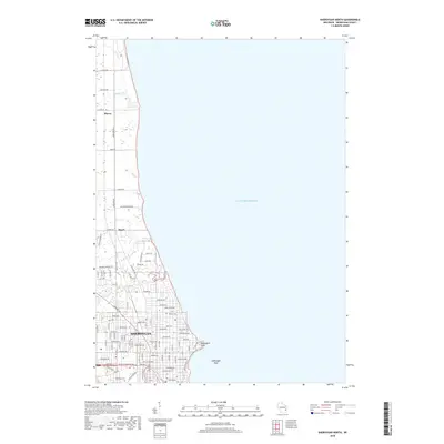
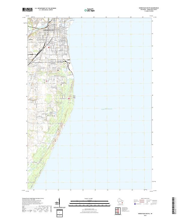
1954 Map of Sheboygan South
USGS Topo · Published 1956About this map
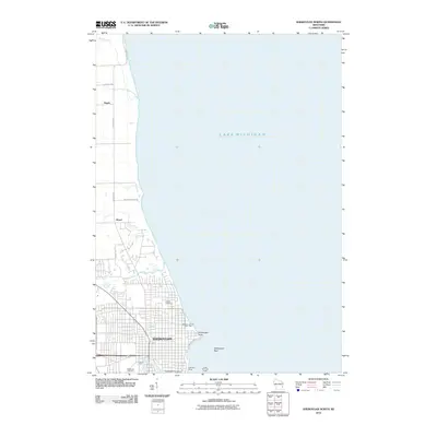
The industrial and residential growth of southern Sheboygan is prominent along the Lake Michigan shoreline in the mid-1950s. The landscape transition from the urban grid of the city to the planned community of Kohler and the rural reaches of Wilson and Holland is clearly visible. Significant infrastructure supporting the region's mid-century expansion includes the Edgewater Powerplant, a Refinery, and the Sewage Disposal works near Lake View Park.
Find a feature on this map
27 named features on this map. Tap any name to fly to it.
Don’t see what you’re looking for? This feature index may not catch every label — zoom into the map to look around manually.
Map Details
Editions of this 1954 Sheboygan South Map
This is the sole edition of this map. No revisions or reprints were ever made.
Historical Maps of Sheboygan Through Time
32 maps found
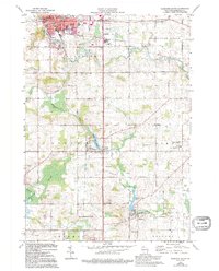
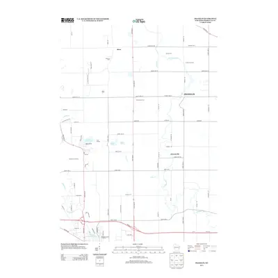
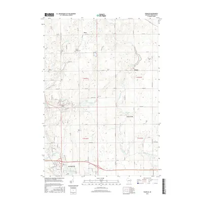
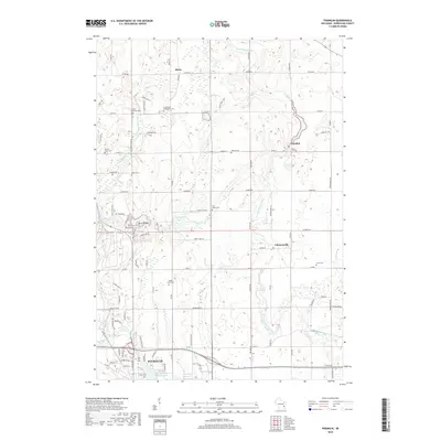
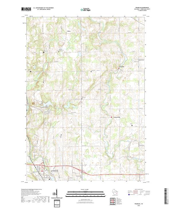
1954 Franklin
Sheboygan County, WI
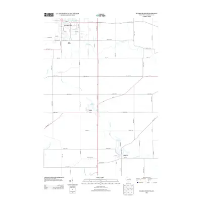
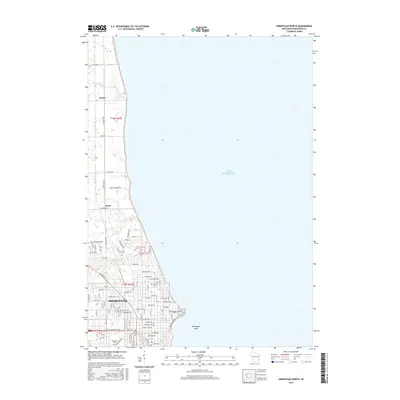
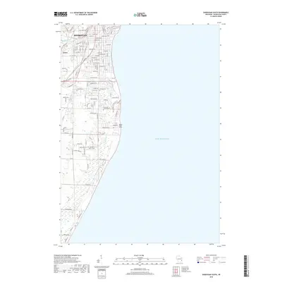
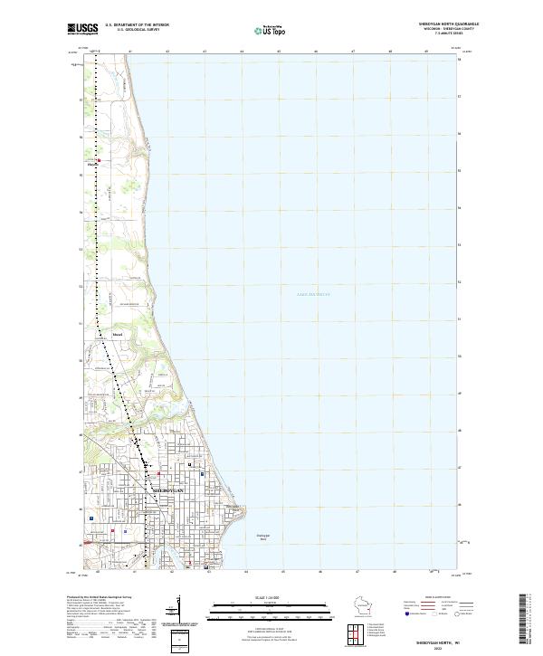
1954 Sheboygan North
Sheboygan County, WI
1954 Sheboygan North
Sheboygan County, WI
1954 Sheboygan South
Sheboygan County, WI
1954 Sheboygan South
Sheboygan County, WI
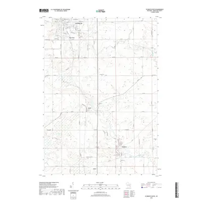
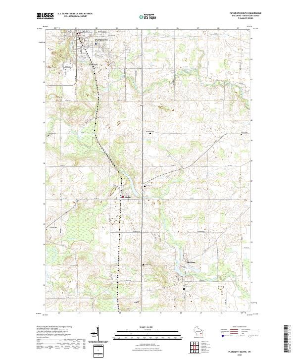
1974 Plymouth South
Sheboygan County, WI
1992 Franklin
Sheboygan County, WI
2010 Franklin
Sheboygan County, WI
2010 Plymouth South
Sheboygan County, WI
2010 Sheboygan North
Sheboygan County, WI
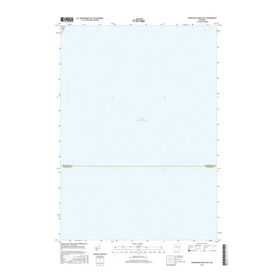
2010 Sheboygan South OE S
Sheboygan County, WI
2010 Sheboygan South
Sheboygan County, WI
2013 Franklin
Sheboygan County, WI
2013 Plymouth South
Sheboygan County, WI
2013 Sheboygan North
Sheboygan County, WI
2013 Sheboygan South OE S
Sheboygan County, WI
2013 Sheboygan South
Sheboygan County, WI
2016 Franklin
Sheboygan County, WI
2016 Plymouth South
Sheboygan County, WI
2016 Sheboygan North
Sheboygan County, WI
2016 Sheboygan South OE S
Sheboygan County, WI
2016 Sheboygan South
Sheboygan County, WI
2018 Franklin
Sheboygan County, WI
2018 Plymouth South
Sheboygan County, WI
2018 Sheboygan North
Sheboygan County, WI
2018 Sheboygan South OE S
Sheboygan County, WI
2018 Sheboygan South
Sheboygan County, WI
2022 Franklin
Sheboygan County, WI
2022 Plymouth South
Sheboygan County, WI
2022 Sheboygan North
Sheboygan County, WI
2022 Sheboygan South OE S
Sheboygan County, WI
2022 Sheboygan South
Sheboygan County, WI