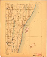
1892 Map of Port Washington
USGS Topo · Published 1892About this map
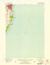
Port Washington serves as the focal point of this late-19th-century coastal landscape, where the bluff-lined shores of Lake Michigan meet a developing interior of small farming communities and industrial hubs. Surveyed in 1890, the map illustrates the early transportation network that shaped Ozaukee County, specifically the competition between the Milwaukee and Northern Railroad and the Milwaukee Lake Shore and Western Railroad. These tracks parallel the winding course of the Milwaukee River, connecting established river settlements like Grafton and Saukville to the port.
Find a feature on this map
28 named features on this map. Tap any name to fly to it.
Don’t see what you’re looking for? This feature index may not catch every label — zoom into the map to look around manually.
Map Details
Editions of this 1892 Port Washington Map
This is the sole edition of this map. No revisions or reprints were ever made.
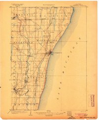
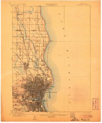
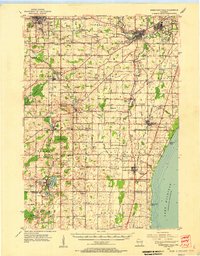
Other maps of this area

1892 · Milwaukee
USGS Topo · 1:62,500

1892 · Waukesha
USGS Topo · 1:62,500

1901 · Milwaukee
USGS Topo · 1:62,500

1901 · Waukesha
USGS Topo · 1:62,500

1904 · West Bend
USGS Topo · 1:62,500
1904 · Port Washington
USGS Topo · 1:62,500

1906 · Waukesha
USGS Topo · 1:62,500
1906 · Milwaukee
USGS Topo · 1:62,500
1954 · Sheboygan Falls
USGS Topo · 1:62,500
1954 · Sheboygan South
USGS Topo · 1:62,500