
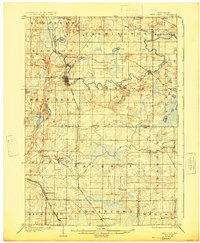
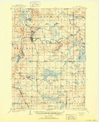
1904 Map of West Bend
USGS Topo · Published 1904About this map
West Bend and the surrounding Washington County landscape are defined by the winding course of the Milwaukee River and a dense network of early 20th-century rail lines. Surveyed shortly after the turn of the century, the map reveals the critical importance of the Chicago and Northwestern R. R. and the Wisconsin Central R. R. in connecting small dairy and milling communities like Barton, Rockfield, and Jackson to larger markets.
Find a feature on this map
42 named features on this map. Tap any name to fly to it.
Don’t see what you’re looking for? This feature index may not catch every label — zoom into the map to look around manually.
Map Details
Editions of this 1904 West Bend Map
3 editions found
Other maps of this area

1892 · Milwaukee
USGS Topo · 1:62,500

1892 · Waukesha
USGS Topo · 1:62,500

1892 · Oconomowoc
USGS Topo · 1:62,500

1892 · Port Washington
USGS Topo · 1:62,500

1901 · Milwaukee
USGS Topo · 1:62,500

1901 · Waukesha
USGS Topo · 1:62,500

1904 · Port Washington
USGS Topo · 1:62,500

1904 · Hartford
USGS Topo · 1:62,500

1906 · Waukesha
USGS Topo · 1:62,500

1906 · Milwaukee
USGS Topo · 1:62,500