
1906 Map of Waukesha
USGS Topo · Published 1906About this map
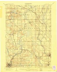
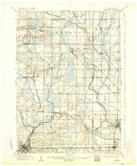
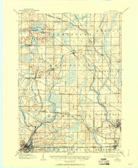
The Waukesha county seat and its surrounding townships appear at a pivotal moment of rail-driven expansion at the dawn of the twentieth century. The landscape is a dense network of steam and electric lines, including the Wisconsin Central Railroad and the Electric R.R., which connected early industrial hubs and residential enclaves. Settlements like Menominee Falls and Lannon are clearly defined alongside smaller, rural points of interest such as Freistadt and South Germantown.
Find a feature on this map
61 named features on this map. Tap any name to fly to it.
Don’t see what you’re looking for? This feature index may not catch every label — zoom into the map to look around manually.
Map Details
Editions of this 1906 Waukesha Map
4 editions found
Other maps of this area

1891 · Bayview
USGS Topo · 1:62,500

1891 · Muskego
USGS Topo · 1:62,500

1892 · Milwaukee
USGS Topo · 1:62,500

1892 · Waukesha
USGS Topo · 1:62,500

1892 · Oconomowoc
USGS Topo · 1:62,500

1892 · Port Washington
USGS Topo · 1:62,500

1892 · Eagle
USGS Topo · 1:62,500

1894 · Eagle
USGS Topo · 1:62,500

1897 · Eagle
USGS Topo · 1:62,500

1901 · Milwaukee
USGS Topo · 1:62,500