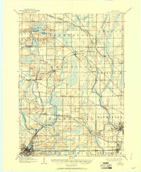
1906 Map of Waukesha
USGS Topo · Published 1950About this map
The Fox River and Menomonee River carve through the glacial landscape west of Milwaukee, anchoring a network of small agricultural and industrial centers at the turn of the century. Large town blocks like Waukesha and Wauwatosa show the early footprints of development, while smaller hamlets such as Lannon and Menomonee Falls are clearly defined. The terrain is marked by numerous depressions and wetlands, characteristic of the local drift geology, with water bodies like Bark Lake and Amy Belle Lake dotting the northern townships.
Find a feature on this map
55 named features on this map. Tap any name to fly to it.
Don’t see what you’re looking for? This feature index may not catch every label — zoom into the map to look around manually.
Map Details
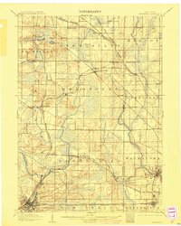
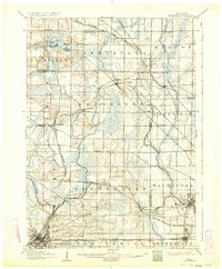
Editions of this 1906 Waukesha Map
4 editions found

Other maps of this area

1891 · Bayview
USGS Topo · 1:62,500

1891 · Muskego
USGS Topo · 1:62,500

1892 · Milwaukee
USGS Topo · 1:62,500

1892 · Waukesha
USGS Topo · 1:62,500

1892 · Oconomowoc
USGS Topo · 1:62,500

1892 · Port Washington
USGS Topo · 1:62,500

1892 · Eagle
USGS Topo · 1:62,500

1894 · Eagle
USGS Topo · 1:62,500

1897 · Eagle
USGS Topo · 1:62,500

1901 · Milwaukee
USGS Topo · 1:62,500