1906 Map of Waukesha
USGS Topo · Published 1914About this map
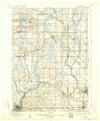
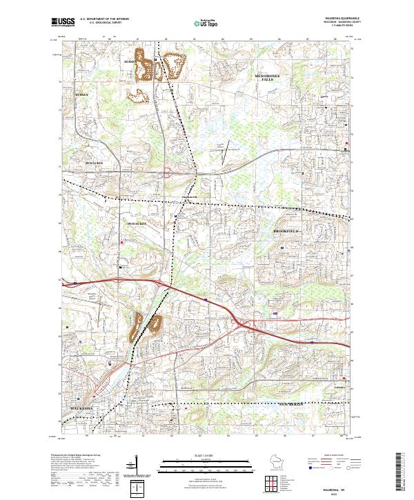
The growing agricultural and industrial landscapes west of Milwaukee are documented in this 1906 survey. Waukesha stands as a primary hub in the south, while the northern reaches show the early established settlements of Germantown and the Lutheran community at Freistadt. The landscape is defined by the winding course of the Menomonee River and its North Branch, which helped facilitate early industry in towns like Menomonee Falls. The region is a dense network of competing rail interests, including the Wisconsin Central Railroad Main Line and the Chicago Milwaukee and St. Paul Railroad, alongside the Electric Line pushing westward toward Calhoun. Researchers can trace the development of smaller rail-stop communities like Duplainville and Lannon, appearing here just as the suburban expansion of Milwaukee began to reach toward Wauwatosa.
Find a feature on this map
58 named features on this map. Tap any name to fly to it.
Don’t see what you’re looking for? This feature index may not catch every label — zoom into the map to look around manually.
Map Details
Editions of this 1906 Waukesha Map
4 editions found

Historical Maps of Milwaukee Through Time
10 maps found

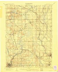
1892 Waukesha
Waukesha County, WI

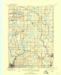
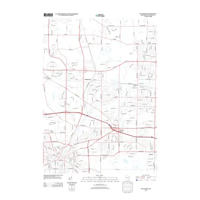
1901 Waukesha
Waukesha County, WI
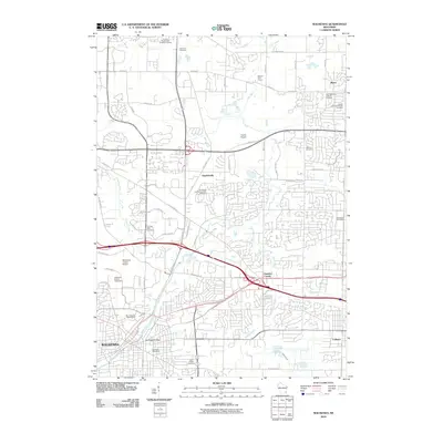
1906 Waukesha
Waukesha County, WI
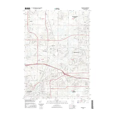
1959 Waukesha
Waukesha County, WI

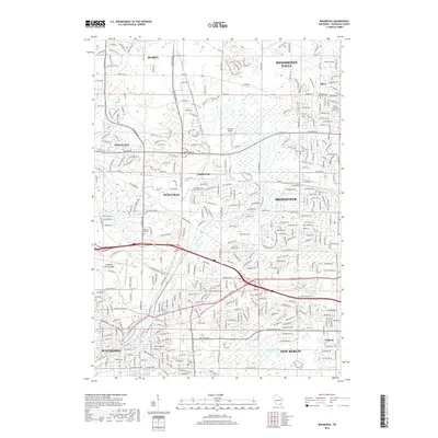
1959 Waukesha
Waukesha County, WI
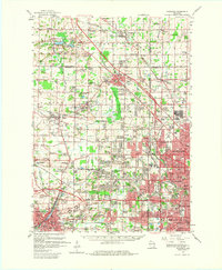
2010 Waukesha
Waukesha County, WI
2013 Waukesha
Waukesha County, WI
2015 Waukesha
Waukesha County, WI
2018 Waukesha
Waukesha County, WI
2022 Waukesha
Waukesha County, WI