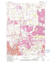
1959 Map of Waukesha
USGS Topo · Published 1994About this map
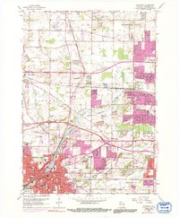
The Fox River winds through the heart of Waukesha, serving as a central geographic anchor for this mid-century landscape. This detailed topographic study, updated in the early 1990s, illustrates the suburban expansion of Brookfield and New Berlin as residential developments began to fill the spaces between established rail lines. Educational and civic institutions are well-represented, from the historic Carroll College campus to the specialized Wisconsin Industrial Sch. The map reveals a complex infrastructure including the Waukesha County Airport and a designated U S Military Reservation, alongside numerous neighborhood schools like Hillcrest Sch and Hadfield Sch. Local transit is defined by the intersection of the Soo Line and Chicago and North Western railroads, which once dictated the growth of settlements like Duplainville and Calhoun. Traditional community anchors such as Rose Hill Cem and SS Peter and Paul Ch persist even as the East West Freeway began to reshape regional travel patterns.
Find a feature on this map
61 named features on this map. Tap any name to fly to it.
Don’t see what you’re looking for? This feature index may not catch every label — zoom into the map to look around manually.
Map Details
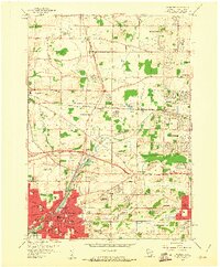
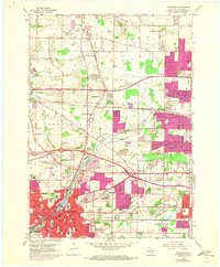
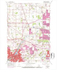
Editions of this 1959 Waukesha Map
5 editions found
Other maps of this area

1891 · Muskego
USGS Topo · 1:62,500

1892 · Waukesha
USGS Topo · 1:62,500

1892 · Oconomowoc
USGS Topo · 1:62,500

1892 · Eagle
USGS Topo · 1:62,500

1894 · Eagle
USGS Topo · 1:62,500

1897 · Eagle
USGS Topo · 1:62,500

1901 · Waukesha
USGS Topo · 1:62,500

1901 · Muskego
USGS Topo · 1:62,500

1906 · Eagle
USGS Topo · 1:62,500

1906 · Waukesha
USGS Topo · 1:62,500