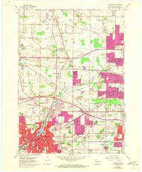
1959 Map of Waukesha
USGS Topo · Published 1973About this map
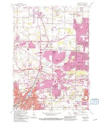
The Fox River meanders through this mid-century landscape, linking the growing urban centers of Waukesha and Brookfield. This era shows a community in transition, where the Chicago Milwaukee St Paul and Pacific railroad corridors still define the industrial and residential grain of the land alongside newer infrastructure like the East West Freeway. The map records a dense network of local civic life, from Carroll College and the Wisconsin Industrl Sch to neighborhood anchors such as SS Peter and Paul Ch and the Unionville Sch. Many smaller settlements like Duplainville and Calhoun maintain their distinct identities before the era's suburban expansion further integrated the region. This survey also highlights the local importance of mineral resources and aviation, evidenced by numerous quarries and both the Waukesha County Airport and the Capitol Drive Airport.
Find a feature on this map
62 named features on this map. Tap any name to fly to it.
Don’t see what you’re looking for? This feature index may not catch every label — zoom into the map to look around manually.
Map Details
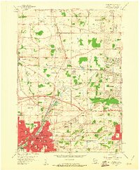
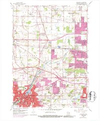
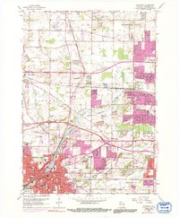
Editions of this 1959 Waukesha Map
5 editions found
Other maps of this area

1891 · Muskego
USGS Topo · 1:62,500

1892 · Waukesha
USGS Topo · 1:62,500

1892 · Oconomowoc
USGS Topo · 1:62,500

1892 · Eagle
USGS Topo · 1:62,500

1894 · Eagle
USGS Topo · 1:62,500

1897 · Eagle
USGS Topo · 1:62,500

1901 · Waukesha
USGS Topo · 1:62,500

1901 · Muskego
USGS Topo · 1:62,500

1906 · Eagle
USGS Topo · 1:62,500

1906 · Waukesha
USGS Topo · 1:62,500