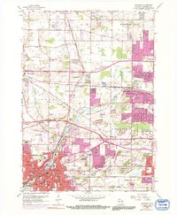
1959 Map of Waukesha
USGS Topo · Published 1992About this map
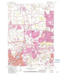
The Fox River meanders through this landscape, which in the late 1950s was quickly transforming from a rural quarrying district into a bustling suburban corridor. The city of Waukesha anchors the southwest corner, featuring Carroll College and the Wisconsin Industrial School, while the expansion of the East-West Freeway signals the increasing connectivity to Milwaukee. Local history is preserved in the detailed mapping of numerous small settlements like Duplainville and Goerkes Corner, along with dozens of schools such as Sunnyslope School and Fairview School. The map reveals a complex economy where extraction at several quarries in Lisbon coexisted with modern landmarks like the Waukesha County Airport and the U.S. Military Reservation. Geologists and genealogists alike will find value in the precise locations of Rose Hill Cemetery and the various mineral springs, including Bethesda Spring and Horeb Spring, which once defined the area's reputation.
Find a feature on this map
70 named features on this map. Tap any name to fly to it.
Don’t see what you’re looking for? This feature index may not catch every label — zoom into the map to look around manually.
Map Details
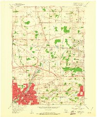
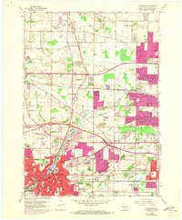
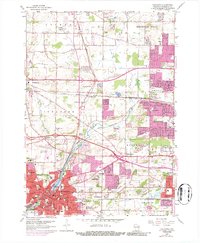
Editions of this 1959 Waukesha Map
5 editions found
Other maps of this area

1891 · Muskego
USGS Topo · 1:62,500

1892 · Waukesha
USGS Topo · 1:62,500

1892 · Oconomowoc
USGS Topo · 1:62,500

1892 · Eagle
USGS Topo · 1:62,500

1894 · Eagle
USGS Topo · 1:62,500

1897 · Eagle
USGS Topo · 1:62,500

1901 · Waukesha
USGS Topo · 1:62,500

1901 · Muskego
USGS Topo · 1:62,500

1906 · Eagle
USGS Topo · 1:62,500

1906 · Waukesha
USGS Topo · 1:62,500