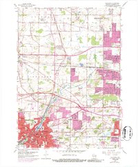
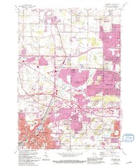
1959 Map of Waukesha
USGS Topo · Published 1986About this map
The Fox River meanders south through this mid-century landscape, linking the expanding industrial and residential centers of Waukesha and Brookfield. This period shows a complex mix of education and industry, centered around Carroll College and the Wisconsin Industrial Sch. The arrival of the East-West Freeway signals a shifting transport era, though the heavy rail corridors of the Chicago Milwaukee St Paul and Pacific and the Soo Line remain dominant features. A large U S Military Reservation and numerous gravel pits and quarries highlight the land's utility during this era of suburban expansion.
Find a feature on this map
67 named features on this map. Tap any name to fly to it.
Don’t see what you’re looking for? This feature index may not catch every label — zoom into the map to look around manually.
Map Details
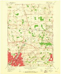
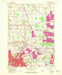
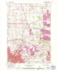
Editions of this 1959 Waukesha Map
5 editions found
Other maps of this area

1891 · Muskego
USGS Topo · 1:62,500

1892 · Waukesha
USGS Topo · 1:62,500

1892 · Oconomowoc
USGS Topo · 1:62,500

1892 · Eagle
USGS Topo · 1:62,500

1894 · Eagle
USGS Topo · 1:62,500

1897 · Eagle
USGS Topo · 1:62,500

1901 · Waukesha
USGS Topo · 1:62,500

1901 · Muskego
USGS Topo · 1:62,500

1906 · Eagle
USGS Topo · 1:62,500

1906 · Waukesha
USGS Topo · 1:62,500