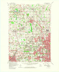
1959 Map of Waukesha
USGS Topo · Published 1980About this map
The Fox River and Menomonee River watersheds define the transition from rural townships to the expanding suburban reach of Milwaukee in the late 1950s. While established cities like Waukesha and Wauwatosa show dense residential grids, the surrounding landscape is marked by a heavy industrial and agricultural presence. Numerous Gravel Pit operations are scattered across Lisbon and Brookfield, signaling the era's demand for construction materials during the post-war building boom. Transportation is a dominant theme, with the Chicago and North Western and Chicago Milwaukee St Paul and Pacific railroads threading through small crossroads like Duplainville and Butler.
Find a feature on this map
99 named features on this map. Tap any name to fly to it.
Don’t see what you’re looking for? This feature index may not catch every label — zoom into the map to look around manually.
Map Details
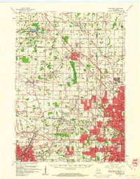
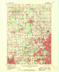
Editions of this 1959 Waukesha Map
3 editions found
Other maps of this area

1891 · Bayview
USGS Topo · 1:62,500

1891 · Muskego
USGS Topo · 1:62,500

1892 · Milwaukee
USGS Topo · 1:62,500

1892 · Waukesha
USGS Topo · 1:62,500

1892 · Oconomowoc
USGS Topo · 1:62,500

1892 · Port Washington
USGS Topo · 1:62,500

1892 · Eagle
USGS Topo · 1:62,500

1894 · Eagle
USGS Topo · 1:62,500

1897 · Eagle
USGS Topo · 1:62,500

1901 · Milwaukee
USGS Topo · 1:62,500