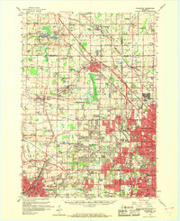
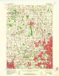
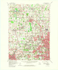
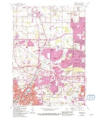
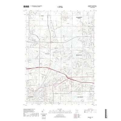
1959 Map of Waukesha
USGS Topo · Published 1969About this map
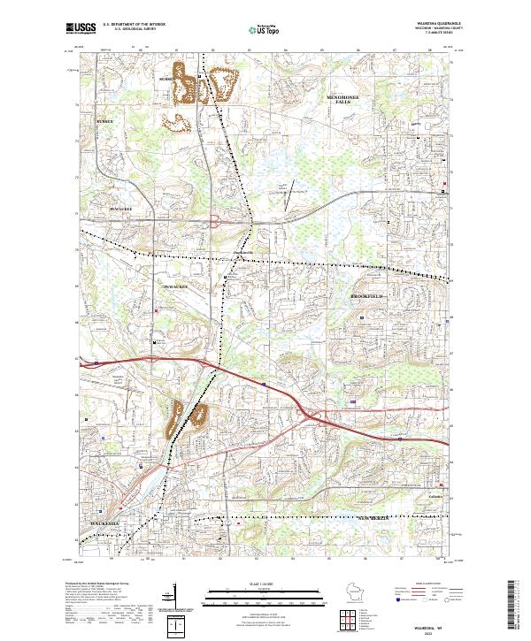
Waukesha and the western suburbs of Milwaukee are captured here during a period of rapid mid-century expansion. The map illustrates the transition from rural townships like Lisbon and Mequon into organized suburban centers, with early subdivisions spreading toward Elm Grove and Brookfield. This era is defined by its transit infrastructure, dominated by the Chicago and North Western and Chicago Milwaukee St Paul and Pacific railroads, which share the landscape with the burgeoning Waukesha County Airport and Capitol Drive Airport.
Find a feature on this map
123 named features on this map. Tap any name to fly to it.
Don’t see what you’re looking for? This feature index may not catch every label — zoom into the map to look around manually.
Map Details
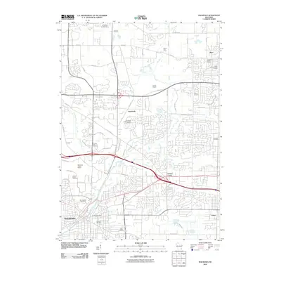
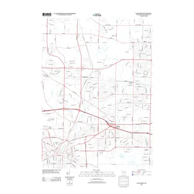
Editions of this 1959 Waukesha Map
3 editions found
Historical Maps of Milwaukee Through Time
10 maps found

1892 Waukesha
Waukesha County, WI

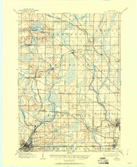
1901 Waukesha
Waukesha County, WI
1906 Waukesha
Waukesha County, WI
1959 Waukesha
Waukesha County, WI
1959 Waukesha
Waukesha County, WI
2010 Waukesha
Waukesha County, WI
2013 Waukesha
Waukesha County, WI
2015 Waukesha
Waukesha County, WI
2018 Waukesha
Waukesha County, WI
2022 Waukesha
Waukesha County, WI