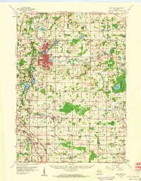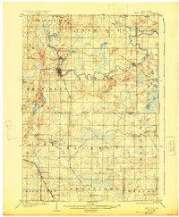
1904 Map of West Bend
USGS Topo · Published 1925About this map
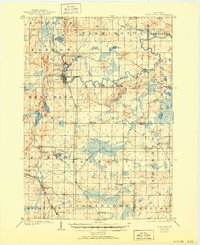
The Milwaukee River meanders across the landscape, anchoring the development of early twentieth-century Washington County. At West Bend, the river creates a central hub for commerce and transportation, while smaller settlements like Young America and Barton sit just to the north along its banks. The map reveals a highly structured agricultural and industrial layout, defined by the intersection of major rail lines including the Chicago Milwaukee and St Paul and the Wisconsin Central. These railroads facilitated the growth of rural communities such as Jackson and Richfield, which served as vital links between local farmers and larger regional markets. Numerous glacial features, including Silver Lake and Little Cedar Lake, dot the western portion of the quadrangle, illustrating the topographical variety that influenced early road placement and property boundaries during this era of Wisconsin's expansion.
Find a feature on this map
46 named features on this map. Tap any name to fly to it.
Don’t see what you’re looking for? This feature index may not catch every label — zoom into the map to look around manually.
Map Details
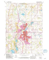
Editions of this 1904 West Bend Map
3 editions found

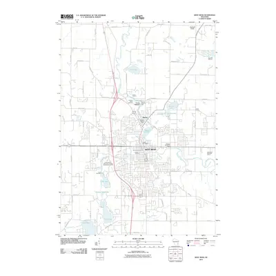
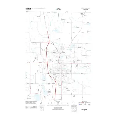
Historical Maps of West Bend Through Time
8 maps found