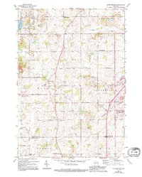
1954 Map of Cleveland West
USGS Topo · Published 1995About this map
Dairy farming country and small unincorporated communities define this rural landscape on the Manitowoc County and Sheboygan County line. The area is anchored by the township of Meeme, where the Meeme River and Pigeon River wind through a landscape dotted with an exceptional number of neighborhood schoolhouses. Local education and community life in the mid-20th century centered on landmarks like the Liberty Bell School, Green Bay Road School, and the La Follette School.
Find a feature on this map
33 named features on this map. Tap any name to fly to it.
Don’t see what you’re looking for? This feature index may not catch every label — zoom into the map to look around manually.
Map Details
Editions of this 1954 Cleveland West Map
3 editions found
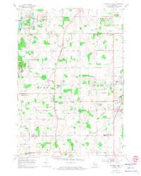
Other maps of this area

1954 · School Hill
USGS Topo · 1:24,000

1954 · Manitowoc
USGS Topo · 1:62,500

1954 · Cleveland
USGS Topo · 1:24,000

1954 · St. Wendel
USGS Topo · 1:24,000

1954 · Sheboygan North
USGS Topo · 1:62,500

1954 · Sheboygan North
USGS Topo · 1:24,000

1954 · Howards Grove
USGS Topo · 1:62,500

1954 · Howards Grove
USGS Topo · 1:24,000

1954 · Reedsville
USGS Topo · 1:62,500

1954 · Manitowoc
USGS Topo · 1:24,000