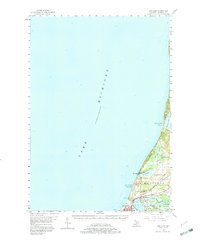
1956 Map of Bar Lake
USGS Topo · Published 1982About this map
Lake Michigan dominates the western half of this survey, defining a coastline of narrow beaches and shifting dunes where the Manistee National Forest meets the water. The landscape is shaped by the complex hydrology of the shoreline, featuring Portage Lake and Bar Lake, which are separated from the main lake by thin peninsulas like Portage Point. To the south, the city of Manistee serves as the industrial and population hub, situated at the junction of Manistee Lake and the lakefront.
Find a feature on this map
25 named features on this map. Tap any name to fly to it.
Don’t see what you’re looking for? This feature index may not catch every label — zoom into the map to look around manually.
Map Details
Editions of this 1956 Bar Lake Map
Other maps of this area

1954 · Manitowoc
USGS Topo · 1:250,000

1956 · Onekama
USGS Topo · 1:62,500

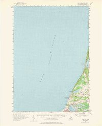
1956 · Bar Lake
USGS Topo · 1:62,500

1956 · Frankfort
USGS Topo · 1:62,500

1957 · Freesoil
USGS Topo · 1:62,500

1958 · Manitowoc
USGS Topo · 1:250,000

1958 · Manistee
USGS Topo · 1:62,500

1976 · Frankfort SW
USGS Topo · 1:24,000

1976 · Onekama NW
USGS Topo · 1:24,000

1976 · Onekama SW
USGS Topo · 1:24,000