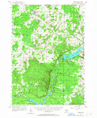
1957 Map of Copemish
USGS Topo · Published 1967About this map
The Betsie River and Manistee River define the hydrography of this northern Michigan landscape, where the Ann Arbor RR cuts through a region transitioning from active rural industry to protected public lands. Along the western edge, the Fife Lake State Forest and Manistee National Forest dominate the terrain, yet the map preserves traces of an earlier social fabric through landmarks like the Oak Grove Sch (Abandoned) and the Red Bridge Lookout Tower. Significant hydroelectric development is evident in the southern reaches, where the Hodenpyl Dam and Tippy Dam create expansive ponds that alter the river's natural course.
Find a feature on this map
51 named features on this map. Tap any name to fly to it.
Don’t see what you’re looking for? This feature index may not catch every label — zoom into the map to look around manually.
Map Details
Editions of this 1957 Copemish Map
3 editions found

Other maps of this area

1933 · Peacock NE
USGS Topo · 1:31,680

1933 · Luther NW
USGS Topo · 1:31,680

1933 · Peacock NW
USGS Topo · 1:31,680

1954 · Traverse City
USGS Topo · 1:250,000

1954 · Manitowoc
USGS Topo · 1:250,000

1956 · Onekama
USGS Topo · 1:62,500

1956 · Kingsley
USGS Topo · 1:62,500

1956 · Mesick
USGS Topo · 1:62,500

1956 · Thompsonville
USGS Topo · 1:62,500

1956 · Frankfort
USGS Topo · 1:62,500