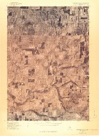
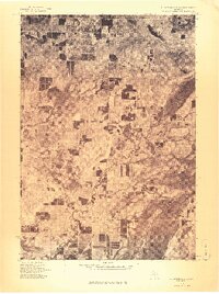
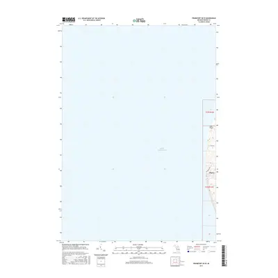
1976 Map of Thompsonville NW
USGS Topo · Published 1976This historical map portrays the area of Thompsonville NW in 1976, primarily covering Benzie County. Featuring a scale of 1:24,000, this map provides a highly detailed snapshot of the terrain, roads, buildings, counties, and historical landmarks in the Thompsonville NW region at the time. Published in 1976, it is the sole known edition of this map.
Map Details
Editions of this 1976 Thompsonville NW Map
This is the sole edition of this map. No revisions or reprints were ever made.
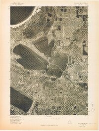
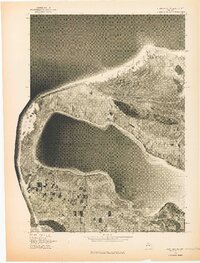
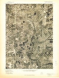
Historical Maps of Platte Township Through Time
18 maps found
1976 Frankfort NE
Benzie County, MI
1976 Frankfort NW
Benzie County, MI
1976 Frankfort SE
Benzie County, MI
1976 Frankfort SW
Benzie County, MI
1976 Thompsonville NW
Benzie County, MI
1976 Thompsonville SW
Benzie County, MI
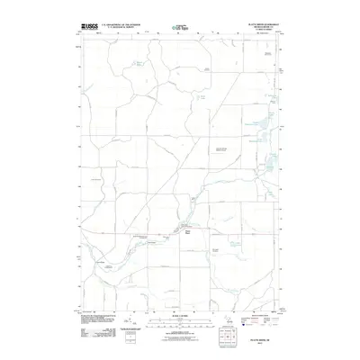
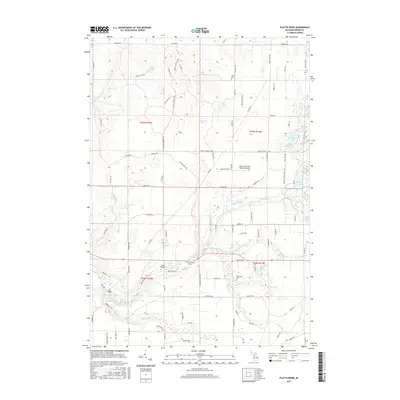
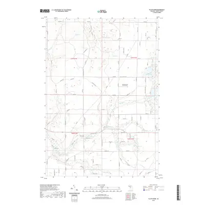
1983 Platte River
Benzie County, MI
1984 Crystal Lake
Benzie County, MI
2011 Frankfort OE W
Benzie County, MI
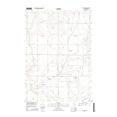
2011 Platte River
Benzie County, MI

2014 Frankfort OE W
Benzie County, MI
2014 Platte River
Benzie County, MI
2017 Frankfort OE W
Benzie County, MI
2017 Platte River
Benzie County, MI
2019 Frankfort OE W
Benzie County, MI
2019 Platte River
Benzie County, MI
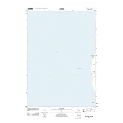
2023 Frankfort OE W
Benzie County, MI
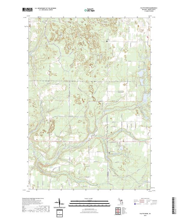
2023 Platte River
Benzie County, MI
Featured Locations
- Platte Township, MI
- Almira Township, MI
- Homestead Township, MI
- Inland Township, MI
- Platte River, Inland Township