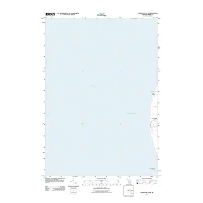
1976 Map of Frankfort SE
USGS Topo · Published 1976About this map
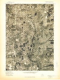
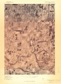
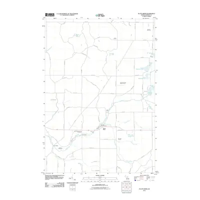
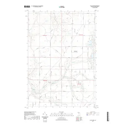
The village of Benzonia serves as the focal point of this orthophoto study, which captures the distinct spatial organization of northern Michigan in the mid-1970s. The imagery reveals a landscape defined by the winding course of the Betsie River, which cuts through a mix of dense woodlots and rectangular agricultural clearings. The transition from the clustered residential grid of the village to the surrounding rural sections illustrates the traditional development patterns of Benzie County. Unlike a standard topographic line drawing, this aerial perspective provides a literal view of the vegetation density and field use, showing the varied textures of the orchards and timber stands that underpin the local economy. The survey is particularly useful for identifying mid-century property boundaries and the specific layout of historical farmsteads that may have since been subdivided or altered.
Find a feature on this map
2 named features on this map. Tap any name to fly to it.
Don’t see what you’re looking for? This feature index may not catch every label — zoom into the map to look around manually.
Map Details
Editions of this 1976 Frankfort SE Map
This is the sole edition of this map. No revisions or reprints were ever made.
Historical Maps of Weldon Through Time
18 maps found
1976 Frankfort NE
Benzie County, MI
1976 Frankfort NW
Benzie County, MI
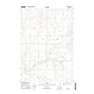
1976 Frankfort SE
Benzie County, MI
1976 Frankfort SW
Benzie County, MI
1976 Thompsonville NW
Benzie County, MI
1976 Thompsonville SW
Benzie County, MI
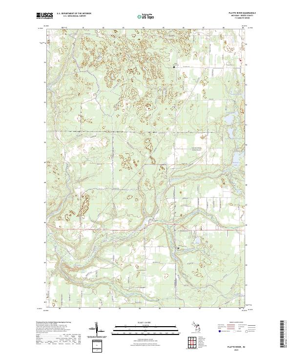
1983 Platte River
Benzie County, MI
1984 Crystal Lake
Benzie County, MI
2011 Frankfort OE W
Benzie County, MI
2011 Platte River
Benzie County, MI

2014 Frankfort OE W
Benzie County, MI
2014 Platte River
Benzie County, MI
2017 Frankfort OE W
Benzie County, MI
2017 Platte River
Benzie County, MI
2019 Frankfort OE W
Benzie County, MI
2019 Platte River
Benzie County, MI
2023 Frankfort OE W
Benzie County, MI
2023 Platte River
Benzie County, MI
Featured Locations
- Pleasanton Township, MI
- Benzonia, Benzonia Township
- Beulah, Benzonia Township
- Crystal Mountain, Weldon Township
- Weldon, Joyfield Township