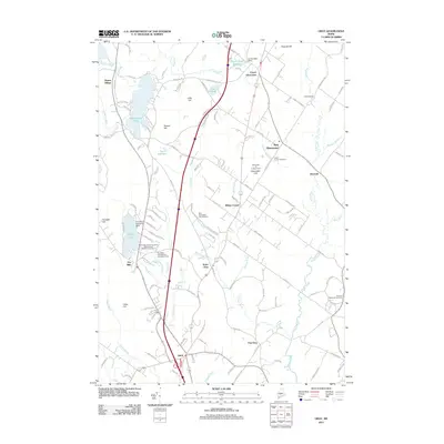
2011 Map of Gray
USGS Topo · Published 2011About this map
Shaker Village stands as a focal point of this regional study, illustrating the enduring cultural landscape north of Gray. The terrain is defined by the winding course of the Royal River and several significant water bodies, including Sabbathday Pond and Crystal Lake. Historical industry and conservation efforts are evident through the presence of the Jordan Mill Dam and multiple facilities dedicated to local wildlife, such as the Dry Mills Fish Hatchery and Game Farm.
Find a feature on this map
129 named features on this map. Tap any name to fly to it.
Don’t see what you’re looking for? This feature index may not catch every label — zoom into the map to look around manually.
Map Details
Editions of this 2011 Gray Map
This is the sole edition of this map. No revisions or reprints were ever made.
Other maps of this area

1892 · Freeport
USGS Topo · 1:62,500

1894 · Gray
USGS Topo · 1:62,500

1898 · Gray
USGS Topo · 1:62,500

1908 · Poland
USGS Topo · 1:62,500

1908 · Lewiston
USGS Topo · 1:62,500

1940 · Poland
USGS Topo · 1:62,500

1941 · Freeport
USGS Topo · 1:62,500

1942 · Lewiston
USGS Topo · 1:62,500

1942 · Poland
USGS Topo · 1:62,500

1942 · Gray
USGS Topo · 1:62,500