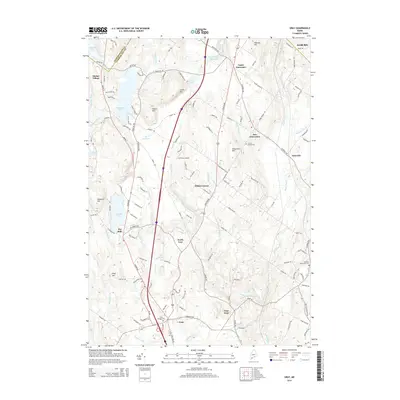
2014 Map of Gray
USGS Topo · Published 2014About this map
Shaker Village occupies the northwestern corner of this quadrangle, situated near the shores of Sabbathday Pond and the expansive Shaker Bog. This region of Maine is defined by its transition from wooded hills like Snows Hill and Pumpkin Hill to the fertile lowlands drained by the Royal River and Collyer Brook. The map reveals a cluster of distinct villages and crossroads, including Upper Gloucester, North Gray, and East Gray, which have maintained their local identities alongside modern developments like the Cliff Dow Airport.
Find a feature on this map
116 named features on this map. Tap any name to fly to it.
Don’t see what you’re looking for? This feature index may not catch every label — zoom into the map to look around manually.
Map Details
Editions of this 2014 Gray Map
This is the sole edition of this map. No revisions or reprints were ever made.
Other maps of this area

1892 · Freeport
USGS Topo · 1:62,500

1894 · Gray
USGS Topo · 1:62,500

1898 · Gray
USGS Topo · 1:62,500

1908 · Poland
USGS Topo · 1:62,500

1908 · Lewiston
USGS Topo · 1:62,500

1940 · Poland
USGS Topo · 1:62,500

1941 · Freeport
USGS Topo · 1:62,500

1942 · Lewiston
USGS Topo · 1:62,500

1942 · Poland
USGS Topo · 1:62,500

1942 · Gray
USGS Topo · 1:62,500