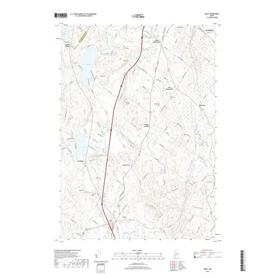
2018 Map of Gray
USGS Topo · Published 2018About this map
Shaker Village occupies the northern portion of this map, home to the Shaker Ch and Shaker Sch near the shores of Sabbathday Pond. The terrain is defined by a series of prominent rises including Bald Hill, Peacock Hill, and Gloucester Hill, which separate the various drainage basins of the Royal River and Pleasant River. This landscape reflects a long history of rural industry and agriculture, evidenced by settlements like Dry Mills and Whites Corner. The central corridor is dominated by transportation routes that connect the village of Gray in the south to Upper Gloucester and New Gloucester further north. Tracing the path of the Maine Central RR through Intervale reveals the historical rail-and-river economy that shaped these communities across the Androscoggin and Cumberland county line.
Find a feature on this map
125 named features on this map. Tap any name to fly to it.
Don’t see what you’re looking for? This feature index may not catch every label — zoom into the map to look around manually.
Map Details
Editions of this 2018 Gray Map
This is the sole edition of this map. No revisions or reprints were ever made.
Other maps of this area

1892 · Freeport
USGS Topo · 1:62,500

1894 · Gray
USGS Topo · 1:62,500

1898 · Gray
USGS Topo · 1:62,500

1908 · Poland
USGS Topo · 1:62,500

1908 · Lewiston
USGS Topo · 1:62,500

1940 · Poland
USGS Topo · 1:62,500

1941 · Freeport
USGS Topo · 1:62,500

1942 · Lewiston
USGS Topo · 1:62,500

1942 · Poland
USGS Topo · 1:62,500

1942 · Gray
USGS Topo · 1:62,500