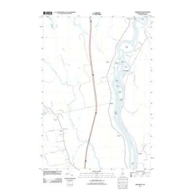
2011 Map of Greenbush
USGS Topo · Published 2011About this map
The Penobscot River serves as the central artery for this region, weaving through a dense network of islands including Sugar Island, White Squaw Island, and Freese Island. Small settlements like Greenbush and Argyle are positioned along the river's path, while the communities of Alton and Costigan anchor the western and southeastern reaches of the map. The landscape is characterized by numerous small water bodies such as Holland Pond and Mansell Pond, alongside winding waterways like Birch Stream and Hemlock Stream. Local heritage is preserved in scattered burial sites including Alton Cemetery, Hemlock Cemetery, and Cedarvale Cemetery. The presence of industrial and residential landmarks, such as the Alton Tannery Rd and Quarry Rd, reflects a history shaped by natural resource management and local enterprise in Penobscot County.
Find a feature on this map
56 named features on this map. Tap any name to fly to it.
Don’t see what you’re looking for? This feature index may not catch every label — zoom into the map to look around manually.
Map Details
Editions of this 2011 Greenbush Map
This is the sole edition of this map. No revisions or reprints were ever made.
Other maps of this area

1902 · Orono
USGS Topo · 1:62,500

1902 · Bangor
USGS Topo · 1:62,500

1917 · Passadumkeag
USGS Topo · 1:62,500

1933 · Boyd Lake
USGS Topo · 1:62,500

1942 · Bangor
USGS Topo · 1:62,500

1944 · Orono
USGS Topo · 1:62,500

1946 · Bangor
USGS Topo · 1:62,500

1946 · Orono
USGS Topo · 1:62,500

1948 · Bangor
USGS Topo · 1:250,000

1951 · Boyd Lake
USGS Topo · 1:50,000