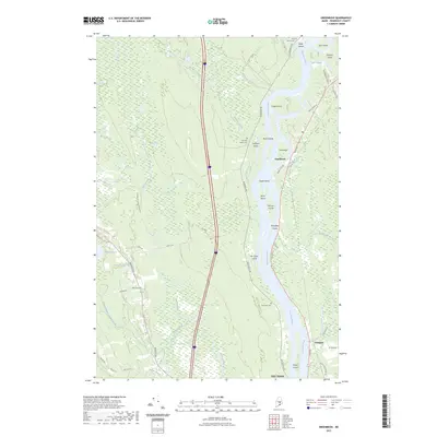
2023 Map of Greenbush
USGS Topo · Published 2023About this map
The Penobscot River dominates this landscape, carving a wide path through Penobscot County and creating a complex network of islands and side channels. Small riverside settlements like Greenbush and Costigan anchor the eastern bank, while the western reaches are defined by the expansive Alton Bog and numerous winding tributaries such as Birch Stream and Hemlock Stream. The river geography is particularly intricate here, featuring prominent landforms like Sugar Island, Olamon Island, and the Birch Islands.
Find a feature on this map
53 named features on this map. Tap any name to fly to it.
Don’t see what you’re looking for? This feature index may not catch every label — zoom into the map to look around manually.
Map Details
Editions of this 2023 Greenbush Map
This is the sole edition of this map. No revisions or reprints were ever made.
Other maps of this area

1902 · Orono
USGS Topo · 1:62,500

1902 · Bangor
USGS Topo · 1:62,500
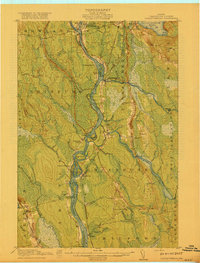
1917 · Passadumkeag
USGS Topo · 1:62,500
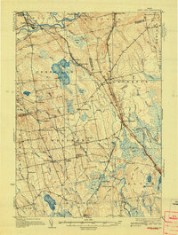
1933 · Boyd Lake
USGS Topo · 1:62,500
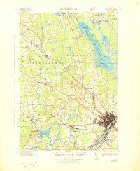
1942 · Bangor
USGS Topo · 1:62,500
1944 · Orono
USGS Topo · 1:62,500
1946 · Bangor
USGS Topo · 1:62,500
1946 · Orono
USGS Topo · 1:62,500

1948 · Bangor
USGS Topo · 1:250,000
1951 · Boyd Lake
USGS Topo · 1:50,000