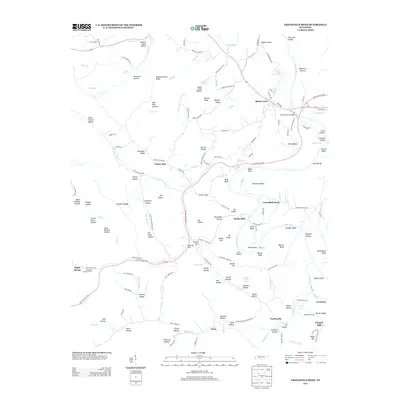
2013 Map of Greenfield Bend
USGS Topo · Published 2013About this map
Kettle Mills and the winding course of the Duck River define this rural Tennessee landscape, where the modern Natchez Trace Pkwy follows the historic corridor of the Old Trace Rd. Small crossroads and riverside settlements like Shady Grove, Isom, and Taylorsville are connected by a network of ridges and hollows with names that suggest a long history of local habitation, including Buzzard Roost Hollow and Sugar Camp Hollow.
Find a feature on this map
165 named features on this map. Tap any name to fly to it.
Don’t see what you’re looking for? This feature index may not catch every label — zoom into the map to look around manually.
Map Details
Editions of this 2013 Greenfield Bend Map
This is the sole edition of this map. No revisions or reprints were ever made.
Other maps of this area

1901 · Colombia
USGS Topo · 1:125,000

1936 · Williamsport
USGS Topo · 1:24,000

1936 · Primm
USGS Topo · 1:24,000

1936 · Mt Joy
USGS Topo · 1:24,000

1936 · Nunnelly
USGS Topo · 1:24,000

1936 · Sunrise
USGS Topo · 1:24,000

1936 · Littlelot
USGS Topo · 1:24,000

1936 · Greenfield Bend
USGS Topo · 1:24,000

1936 · Mount Pleasant
USGS Topo · 1:24,000

1936 · Gordonsburg
USGS Topo · 1:24,000