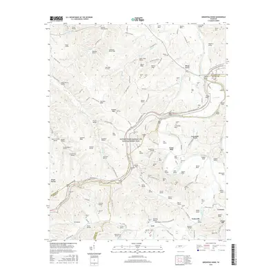
2016 Map of Greenfield Bend
USGS Topo · Published 2016About this map
The Duck River winds through this section of the Central Basin, carving dramatic landscape features like Bratton Bend, Shelby Bend, and the aptly named The Kettle. This area, spanning the borders of Hickman and Maury Counties, is defined by its deep ridges and narrow hollows. The historic Natchez Trace Parkway and National Scenic Trail traverses the terrain, following the high ground past Kincade Hill and Dog Ridge. Small, scattered settlements such as Greenfield Bend and Kettle Mills reflect the rural heritage of the region. Genealogists will find a high density of family-named landmarks and burial sites, including the Whiteside Cem, Old Cathey Cem, and Bingham Cem. The map illustrates the tight relationship between topography and human settlement, where roads like Kettle Mills Rd follow the creek beds and river banks beneath towering elevations like Baker Bluff.
Find a feature on this map
180 named features on this map. Tap any name to fly to it.
Don’t see what you’re looking for? This feature index may not catch every label — zoom into the map to look around manually.
Map Details
Editions of this 2016 Greenfield Bend Map
This is the sole edition of this map. No revisions or reprints were ever made.
Other maps of this area

1901 · Colombia
USGS Topo · 1:125,000

1936 · Williamsport
USGS Topo · 1:24,000

1936 · Primm
USGS Topo · 1:24,000

1936 · Mt Joy
USGS Topo · 1:24,000

1936 · Nunnelly
USGS Topo · 1:24,000

1936 · Sunrise
USGS Topo · 1:24,000

1936 · Littlelot
USGS Topo · 1:24,000

1936 · Greenfield Bend
USGS Topo · 1:24,000

1936 · Mount Pleasant
USGS Topo · 1:24,000

1936 · Gordonsburg
USGS Topo · 1:24,000