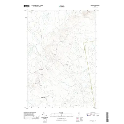
2021 Map of Greenfield
USGS Topo · Published 2021About this map
Greenfield and Crocker Turn anchor this section of Penobscot County, where the landscape is defined by a dense network of watercourses and localized elevations. The drainage pattern is particularly intricate, with Olamon Stream and its tributaries, such as N Br Olamon Stream, carving through the terrain near Olamon Pond. These waterways, along with Sunkhaze Stream in the southwest, historically influenced the positioning of early roads like Greenfield Rd and Crocker Turn Rd.
Find a feature on this map
36 named features on this map. Tap any name to fly to it.
Don’t see what you’re looking for? This feature index may not catch every label — zoom into the map to look around manually.
Map Details
Editions of this 2021 Greenfield Map
This is the sole edition of this map. No revisions or reprints were ever made.
Other maps of this area

1902 · Orono
USGS Topo · 1:62,500

1917 · Passadumkeag
USGS Topo · 1:62,500

1929 · Great Pond
USGS Topo · 1:48,000

1931 · Saponac
USGS Topo · 1:48,000

1932 · Great Pond
USGS Topo · 1:62,500

1934 · Saponac
USGS Topo · 1:62,500

1944 · Orono
USGS Topo · 1:62,500

1946 · Orono
USGS Topo · 1:62,500

1948 · Bangor
USGS Topo · 1:250,000

1954 · Millinocket
USGS Topo · 1:250,000
Featured Places
- Greenfield Township, ME
- Grand Falls Township, ME
- Summit Township, ME
- T39 MD BPP, ME
- Crocker Turn, Greenfield Township