Loading...
Loading map...2022 Map of Greenfield
USGS Topo · Published 2022About this map
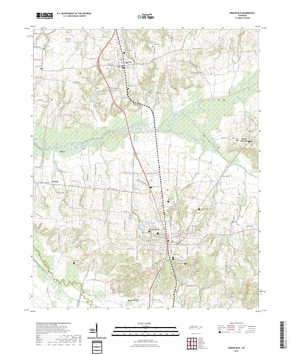
Greenfield and Sharon anchor this Weakley County landscape, where the agricultural traditions of northwest Tennessee meet a complex network of managed waterways. The terrain is defined by the Middle Fork Obion River and its accompanying system of drainage channels, including Wills Ditch, Buckor Ditch, and Lipscomb Ditch. These human-engineered features underscore the long-standing efforts to reclaim and maintain the fertile bottomlands of the Obion River basin for cultivation.
Find a feature on this map
117 named features on this map. Tap any name to fly to it.
Don’t see what you’re looking for? This feature index may not catch every label — zoom into the map to look around manually.
Map Details
Date Portrayed2022
Date Published2022
PublisherU.S. Geological Survey
Map TypeTopographic
Scale1:24000
Physical Dimensions24 x 29 inches
Editions of this 2022 Greenfield Map
This is the sole edition of this map. No revisions or reprints were ever made.
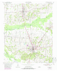
Historical Maps of Kimery Through Time
Featured Locations
Source Details
SourceU.S. Geological Survey
CopyrightPublic Domain