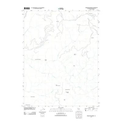
2012 Map of Greenough Ridge
USGS Topo · Published 2012About this map
Greenough Ridge and the surrounding Mendocino County backcountry are defined by the winding course of the Big River and its major tributaries, including the North Fork Big River and East Branch North Fork River. This 2012 survey illustrates a landscape primarily shaped by timber interests and ranching, where remote outposts like Fordice Ranch and Williams Ranch are connected by a network of private and service roads such as Muir Mill Rd and Williams Ranch Rd.
Find a feature on this map
33 named features on this map. Tap any name to fly to it.
Don’t see what you’re looking for? This feature index may not catch every label — zoom into the map to look around manually.
Map Details
Editions of this 2012 Greenough Ridge Map
This is the sole edition of this map. No revisions or reprints were ever made.
Other maps of this area

1920 · Glenblair
USGS Topo · 1:62,500

1922 · Willits
USGS Topo · 1:62,500

1942 · Willits
USGS Topo · 1:62,500

1943 · Glenblair
USGS Topo · 1:62,500

1943 · Boonville
USGS Topo · 1:62,500

1943 · Navarro
USGS Topo · 1:62,500

1944 · Willits
USGS Topo · 1:62,500

1944 · Saddle Point
USGS Topo · 1:62,500

1957 · Ukiah
USGS Topo · 1:250,000
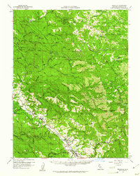
1959 · Boonville
USGS Topo · 1:62,500