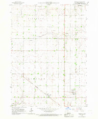
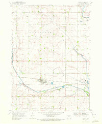
1966 Map of Greenville
USGS Topo · Published 1967About this map
Greenville and Rossie serve as the primary hubs of this Clay County landscape during the mid-1960s, a period defined by established agricultural plots and heavy-duty rail transport. The Chicago Rock Island And Pacific railroad cuts diagonally across the southern half of the map, providing a vital industrial link through Lincoln and Gillette Grove townships. This infrastructure supported the movement of grain and goods from the surrounding farms to larger markets beyond the quadrangle.
Find a feature on this map
14 named features on this map. Tap any name to fly to it.
Don’t see what you’re looking for? This feature index may not catch every label — zoom into the map to look around manually.
Map Details
Editions of this 1966 Greenville Map
This is the sole edition of this map. No revisions or reprints were ever made.
Other maps of this area

1954 · Fairmont
USGS Topo · 1:250,000

1954 · Fort Dodge
USGS Topo · 1:250,000

1957 · Fort Dodge
USGS Topo · 1:250,000

1958 · Fort Dodge
USGS Topo · 1:250,000

1958 · Fairmont
USGS Topo · 1:250,000
1966 · Spencer
USGS Topo · 1:24,000
1966 · Gillett Grove
USGS Topo · 1:24,000
1966 · Dickens
USGS Topo · 1:24,000
1970 · Everly
USGS Topo · 1:24,000
1970 · Royal
USGS Topo · 1:24,000