2021 Map of Greer
USGS Topo · Published 2021About this map
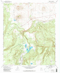
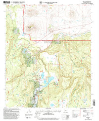
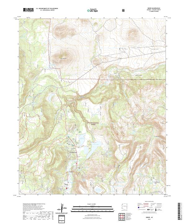
The Apache National Forest landscape around Greer and Northwoods is defined by a dense network of water management features and high-elevation terrain. This 2021 survey illustrates how the headwaters of the Little Colorado River are harnessed through a series of reservoirs, including Bunch Reservoir, Ellis Wiltbank Reservoir, and the Greer Lakes. The area's character as a recreational and ecological hub is evident in the extensive trail system, featuring routes like the Meadow Lark Trl and Ponderosa Trl, alongside the prominent White Mountain Scenic Road. The topography is marked by distinctive volcanic and erosional forms such as Antelope Mtn, Sizer Knoll, and the deep Butler Canyon, reflecting the complex geography of the White Mountains region.
Find a feature on this map
81 named features on this map. Tap any name to fly to it.
Don’t see what you’re looking for? This feature index may not catch every label — zoom into the map to look around manually.
Map Details
Editions of this 2021 Greer Map
This is the sole edition of this map. No revisions or reprints were ever made.