
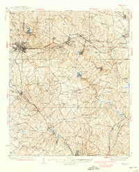
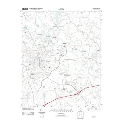
1935 Map of Greer
USGS Topo · Published 1935About this map
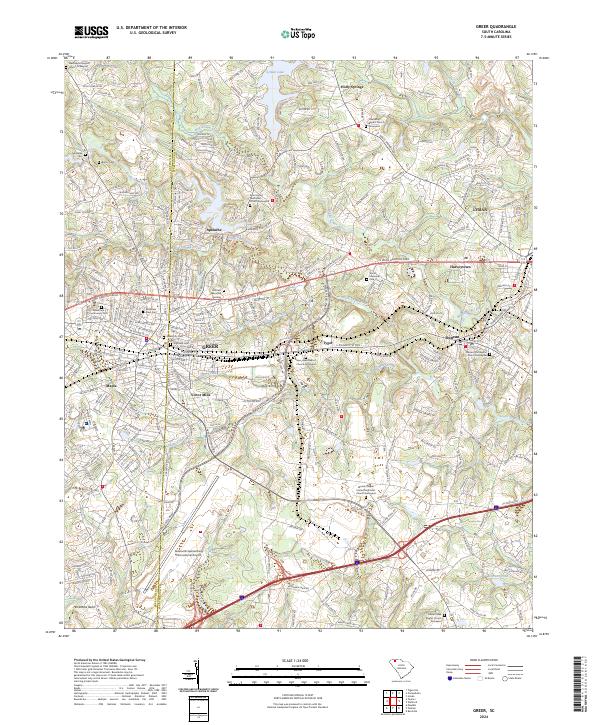
The industrial and agricultural corridors of the Piedmont are clearly defined in this mid-1930s survey along the Greenville Co and Spartanburg Co line. The Southern Railway serves as the backbone of the region, connecting the textile hub at Victor Mills and the town of Greer with several significant stops including Duncan Station and Snoddy Station. This transportation network supported a landscape densely populated with local institutions, from the Hanson Academy in the northwest to the numerous community anchors like Washington Ch and Woods Chapel.
Find a feature on this map
89 named features on this map. Tap any name to fly to it.
Don’t see what you’re looking for? This feature index may not catch every label — zoom into the map to look around manually.
Map Details
Editions of this 1935 Greer Map
This is the sole edition of this map. No revisions or reprints were ever made.
Historical Maps of Greer Through Time
10 maps found
1935 Greer
Greenville County, SC
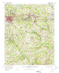
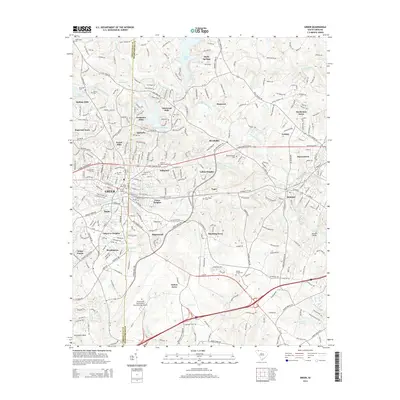
1938 Greer
Greenville County, SC
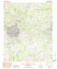
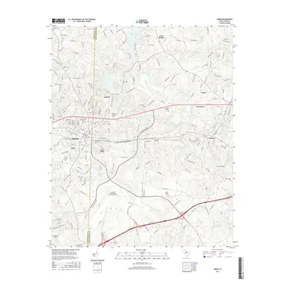
1957 Greer
Greenville County, SC
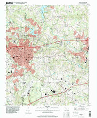
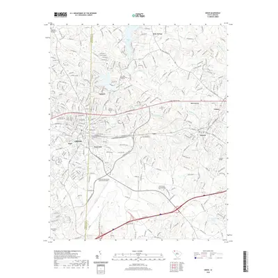
1983 Greer
Greenville County, SC
1994 Greer
Greenville County, SC
2011 Greer
Greenville County, SC
2014 Greer
Greenville County, SC
2017 Greer
Greenville County, SC
2020 Greer
Greenville County, SC
2024 Greer
Greenville County, SC