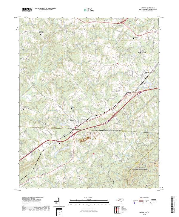
2022 Map of Grover
USGS Topo · Published 2022About this map
Kings Mountain National Military Park straddles the state line between North Carolina and South Carolina, anchoring this landscape of memory and rolling terrain. The map captures the interstate border as it divides Grover in Cleveland County from the rural reaches of Cherokee and York Counties. This specific area is exceptionally dense with family and community burial grounds, ranging from established church sites like the Antioch Baptist Church Graveyard to smaller family plots such as Jones Cem and Etters Cem.
Find a feature on this map
55 named features on this map. Tap any name to fly to it.
Don’t see what you’re looking for? This feature index may not catch every label — zoom into the map to look around manually.
Map Details
Editions of this 2022 Grover Map
This is the sole edition of this map. No revisions or reprints were ever made.
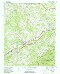
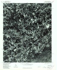
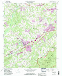
Historical Maps of Antioch Through Time
4 maps found