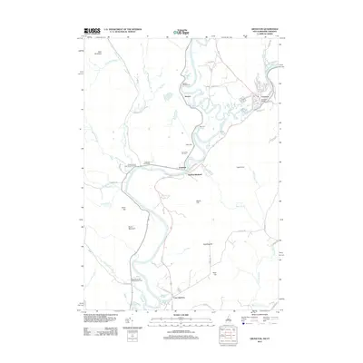
2012 Map of Groveton
USGS Topo · Published 2012About this map
The Connecticut River serves as the winding centerpiece for this borderlands survey, defining the boundary between New Hampshire and Vermont. The village of Groveton is the primary population center, situated where the Upper Ammonoosuc River meets the Connecticut. This settlement is characterized by a dense grid of residential streets like Hillside Ave and Covell Hts, alongside the Groveton Bridge and a central Po. Downstream, the landscape shifts toward the smaller community of Northumberland and the rail-oriented Coos Junction.
Find a feature on this map
66 named features on this map. Tap any name to fly to it.
Don’t see what you’re looking for? This feature index may not catch every label — zoom into the map to look around manually.
Map Details
Editions of this 2012 Groveton Map
This is the sole edition of this map. No revisions or reprints were ever made.
Other maps of this area

1893 · Mt. Washington
USGS Topo · 1:62,500

1896 · Mt. Washington
USGS Topo · 1:62,500

1900 · Whitefield
USGS Topo · 1:62,500

1920 · Guildhall
USGS Topo · 1:62,500

1930 · Percy
USGS Topo · 1:62,500

1931 · Guildhall
USGS Topo · 1:48,000

1933 · Guildhall
USGS Topo · 1:48,000

1934 · Percy
USGS Topo · 1:62,500

1935 · Whitefield
USGS Topo · 1:48,000

1935 · Mt. Washington
USGS Topo · 1:62,500